


Tormenta Cristina formed Monday in the eastern Pacific off the coast of Nicaragua, the National Hurricane Center said, with maximum sustained winds of 75 km/h and a vortex centered about 175 km west-southwest of Managua.
The storm’s center also sat roughly 200 kilometers southeast of San Salvador as Cristina organized over open water, and forecasters said it could produce sustained rainfall across a broad swath of Central America through Thursday.
Cristina was forecast to leave between 10 and 20 centimeters of rain in coastal areas of Nicaragua, Honduras, El Salvador and Guatemala, with isolated maximum accumulations near 30 centimeters in some coastal pockets through Thursday.
Those rainfall totals — up to about 12 inches in the highest spots — are the principal immediate hazard from Cristina, concentrated on coastal zones rather than an explicitly projected landfall in the initial advisory.
Context matters: Cristina is the second tropical storm to develop in the eastern Pacific this season, which began May 15. An earlier system, Amanda, formed June 3 well offshore and did not pose a threat to land. The Atlantic hurricane season began June 1 and, as of the NHC timeline, has not produced any cyclones.


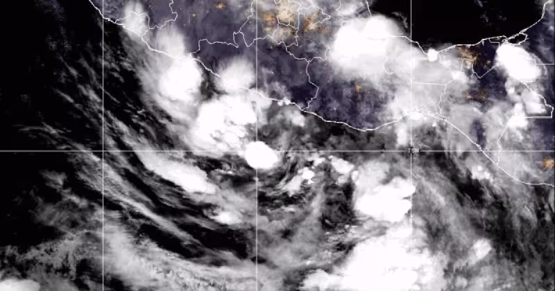
Running in parallel with Cristina is another storm that alters the regional picture. Tropical storm Boris also formed Monday in the eastern Pacific and posed a separate, more immediate danger to southern Mexico.
Boris was centered about 135 kilometers southeast of Acapulco and roughly 80 kilometers southwest of Punta Maldonado, carrying maximum sustained winds of 65 km/h and moving northeast at about 3 km/h. Forecasters expected Boris to turn toward the north and to make landfall Tuesday.
The NHC warned that Boris could generate intense rainfall, flooding and possible landslides along parts of Mexico’s Pacific coast. The forecast called for 10 to 25 centimeters of rain in coastal Guerrero and Oaxaca through Monday night, and a tropical storm watch was active from Laguna de Chacahua in Oaxaca to Tecpan de Galeana in Guerrero, with tropical-storm conditions expected within 24 hours.
The near-simultaneous formation of Cristina and Boris divides the immediate hazards: Cristina’s multi-day rainfall threat across four Central American countries through Thursday, and Boris’s concentrated, short-term risk of heavy downpours, flooding and mudslides along Mexico’s Guerrero and Oaxaca coasts with a predicted landfall on Tuesday.
What the public bulletin does not specify is whether Cristina will make landfall or how its track might change after Thursday. The initial forecasts make the rainfall window clear but leave the storm’s later course unresolved—an important distinction for coastal communities that may face prolonged flooding if the system drifts closer to shore or slows.
The next confirmed milestone is on the Mexican side: Boris’s predicted northward turn and expected Tuesday landfall. For Central America, the calendar is mapped out only through Thursday, when Cristina’s heaviest rains are expected to ease; whether Cristina will approach or cross coastal areas after that remains the single most consequential unanswered question from the NHC advisories.


