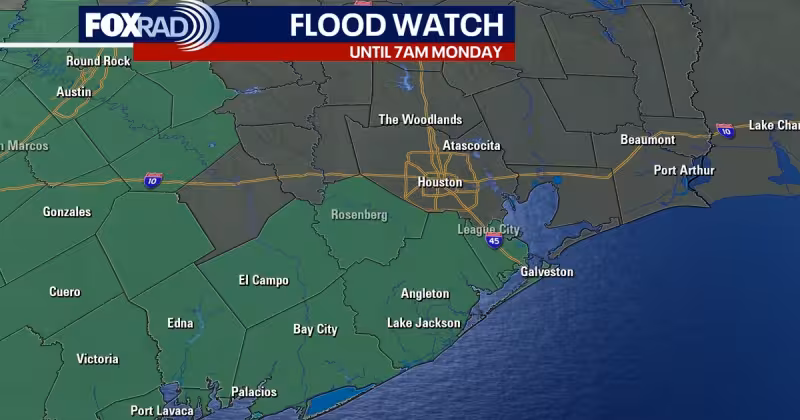
A flood watch remains in effect until 7 a.m. Monday for Brazoria, Fort Bend, Galveston, Matagorda, Wharton and Jackson counties, after parts of the region already picked up four to eight inches of rain Tuesday night and Wednesday. More rain is expected through the holiday weekend, and forecasters say the next several days could bring repeated rounds of showers and thunderstorms across the Houston area.
The concern is not just the amount of rain already on the ground, but what may follow. Models are pointing to scattered downpours Friday, then a bigger burst of heavy rain Saturday evening through Sunday morning. Houston has already been placed in a level 2 out of 4 risk for street flooding both Saturday and Sunday, and forecasters say flooding concerns will likely increase when an upper-level area of low pressure develops in north Texas.
That setup matters because deep Gulf moisture remains in place, feeding additional rounds of rain and storms through Memorial Day weekend. Some of those storms could bring heavy rain and gusty winds. The flash flood risk is expected to stay slightly elevated over the next few days, with rain chances holding up across the region and repeated rounds of storms still possible.
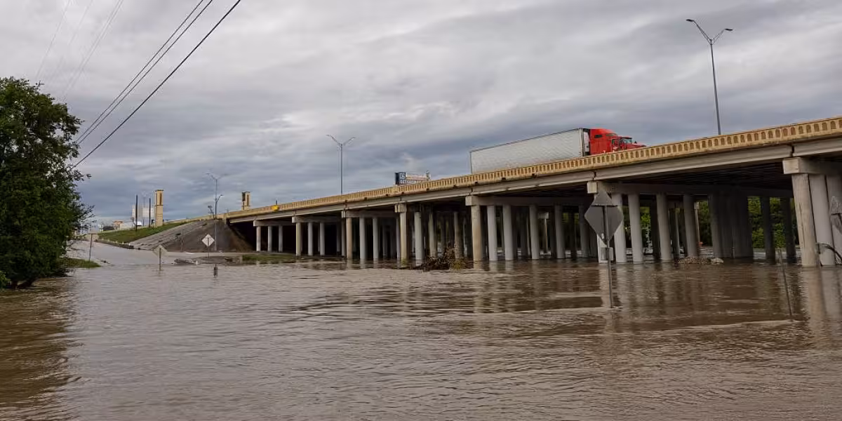


The flood watch covers a broad stretch of the Texas coast and nearby inland counties, where saturated ground can quickly turn new rain into runoff. Several more inches of rain are potentially expected, and the higher risk for flooding is expected to last over the next 5 days. Memorial Day itself could bring some showers, though with less coverage than the previous two days.
The timing leaves little room for relief. Rain has already fallen in enough volume to prime the ground, and the next wave is expected before the holiday weekend is over. For people in the watch area, the practical answer is simple: the threat is not easing yet, and the worst of the flooding risk may still be ahead.
Today also brought NOAA’s 2026 hurricane outlook, which calls for 8 to 14 named storms, 3 to 6 hurricanes and 1 to 3 major hurricanes. It is separate from the current flooding threat, but it lands on a Gulf Coast already watching a wet stretch closely, with the immediate focus still on the next few days of rain and the water it could leave behind.