
Cincinnati weather is starting Memorial Day weekend on a soggy note, with rounds of rain and a few thunderstorms expected to move across the region Friday through Saturday before conditions improve by the holiday. The National Weather Service in Wilmington said showers and embedded thunderstorms could bring locally heavy rain Friday, May 22, as Taste of Cincinnati gets underway.
Showers are expected to reach Northern Kentucky around daybreak Friday and gradually expand north into Greater Cincinnati by the afternoon, driven by a steady feed of Gulf moisture. The system will bring periods of widespread rain and a few embedded thunderstorms, with rain heavy at times, especially south and east of Interstate 71. Many locations are likely to pick up around an inch of rain through Saturday, and some localized areas could see higher amounts.


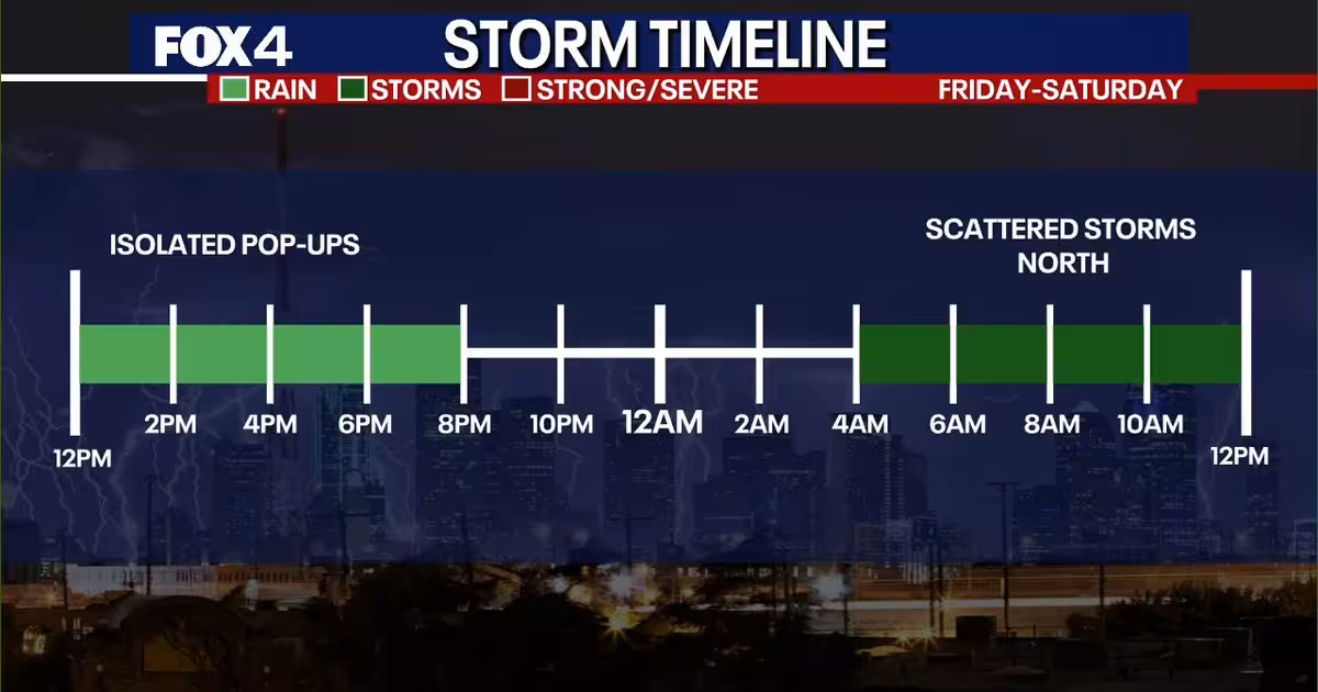
A flood watch is in effect for much of Northern Kentucky and parts of southeast Indiana and southern Ohio, where already moist ground from recent rains raises the risk of isolated flash flooding. Heavy rainfall may lead to some minor flooding, and while thunderstorms are expected to be scattered and generally not severe, a brief stronger storm cannot be ruled out late Friday, especially near the Ohio River.
Rain coverage is expected to decrease late Friday night into early Saturday as the initial wave moves through, but another disturbance tracking toward the Great Lakes will trigger renewed showers and a few thunderstorms during the day Saturday. Intermittent downpours could continue to add to rainfall totals before conditions begin to settle down Sunday.
That makes Monday the better day for people hoping to get outside. By Memorial Day, the weather should be more favorable for outdoor plans, with a mix of sun and clouds, seasonable temperatures and a 40% chance of rain. The forecast may force some people to move their plans indoors for the start of the weekend, but the holiday itself is still shaping up to be the drier stretch of the stretch.