
A more active myrtle beach weather pattern begins Friday, bringing showers and storms to the Grand Strand as Memorial Day weekend gets underway. The best chance for rain arrives early in the day near the beaches, then shifts inland through the afternoon and evening.
Temperatures will still reach near 80 along the Grand Strand on Friday, while inland areas climb into the upper 80s. The setup comes as a stalled stationary front to the north starts to trigger a few showers and storms, and it marks a clear change after two weeks of dry weather across the Carolinas.
The weekend will not be a washout, but it will not be quiet either. Daily storm chances and rising humidity will make each day feel steamy, even though there will be plenty of dry times in between. The best chance for storms looks to be each afternoon, mainly inland, with temperatures holding in the lower 80s for the beaches and the mid-upper 80s in the Pee Dee, where a few more storms are possible at times.
That same pattern is expected to hang around through Memorial Day weekend and into next week. Forecasters say the active stretch could even bring some beneficial rain to parts of the region after the long dry spell, though the rain will come in repeated bursts rather than one long soaking event. Through the holiday weekend, most of the Carolinas are expected to pick up two to three inches of rain, and a few communities could see over four inches.

Charlotte will see its own turn in the stormy pattern before the weekend fully settles in. Most of Thursday should stay dry and very warm, with afternoon highs in the upper 80s to near 90 degrees. An approaching cold front is expected to spark a few showers and storms during the afternoon, then more widespread storms in the evening and overnight. Friday turns significantly cooler there with cloudy skies and lingering showers, and another wave of widespread rain looks likely Friday night into Saturday.
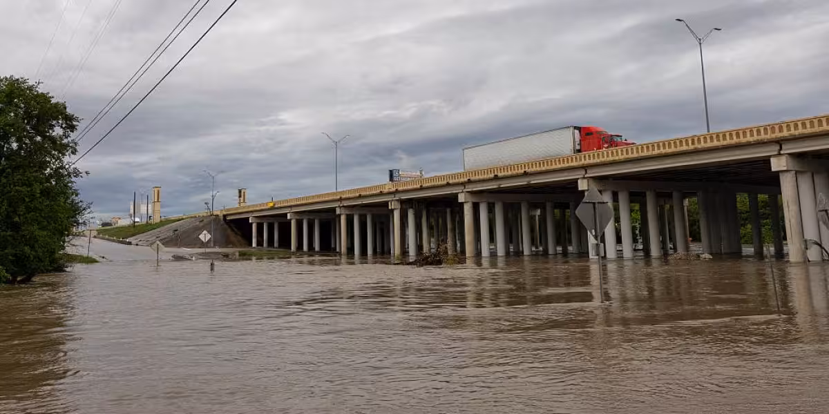
Even with those totals, flooding concerns in Charlotte are expected to stay low. Columbia faces a different risk on Saturday, when a First Alert Weather Day is in effect for slow-moving downpours that could lead to localized flooding. Surface low pressure developing along the stationary boundary is expected to keep strong storms around in the afternoon, and forecasters note the system has a history of flash flooding. The ground is dry, which means some of the rain may run off instead of soaking in.
In Columbia, Friday is partly cloudy with a few afternoon and evening thunderstorms and a 50% chance of rain. Saturday carries a 60% chance of rain with scattered showers and thunderstorms by the afternoon and evening, followed by a 50% chance on Sunday with more scattered activity mainly late in the day. Memorial Day in Columbia brings scattered showers and storms as well, especially in the afternoon and evening.
For Myrtle Beach, the bottom line is straightforward: the sun will not disappear, but the forecast is turning more unsettled starting Friday, and the holiday weekend should be read as a string of storm chances rather than a single wet day. That pattern is likely to linger into next week, with enough rain around to help in some places and enough dry breaks for travelers to keep moving.