The most destructive tornado in a three-day outbreak tore through Howard County, Nebraska, on May 17 and destroyed four homes near Saint Libory, but no one was hurt after residents took shelter when the National Weather Service issued a tornado warning. The storm hit around 5 p.m. CDT, about 10 miles north of Grand Island, and later survey work rated it EF3 with peak estimated winds of 160 mph.
That was only one part of a fast-moving weather episode that produced more than 235 severe weather reports on May 16, another 280 on May 17 and over 300 more on May 18. By the time the outbreak reached its second day, 20 tornadoes had been confirmed, alongside 156 wind reports and enough hail to bury roads, dent roofs and punch holes in crops across the central Plains and Upper Midwest.
The opening round began on May 16, with the heaviest activity centered in Nebraska, northern Kansas and far northern Missouri. Three weak tornadoes were documented in Linn and Livingston counties, Missouri, while Concordia, Kansas, reported the day’s highest wind gust at 90 mph. Hail was a major feature of the outbreak from the start: there were 95 hail reports on May 16, and nearly 30 involved stones greater than 2 inches in diameter. Baseball-sized hail was reported in Kansas and Nebraska.
By May 17, the pattern had widened and sharpened. Another 280 severe weather reports came in across the central and eastern United States, and the National Weather Service said 20 tornadoes had been confirmed by that point. In Nebraska, a damaging tornado near Hebron prompted a rare tornado emergency close to the Kansas state line, about 65 miles southwest of Lincoln. That tornado was later rated EF1. A radar-confirmed tornado also caused damage north of Ashland, between Lincoln and Omaha, and homes near Plattsmouth, south of Omaha along the Missouri River, were reported damaged by what appeared to be another tornado.

The day’s most violent storm struck near Saint Libory, but the warning made the difference. Residents moved to shelter after receiving the alert, and that is why the four homes lost there did not come with injuries attached. A Doppler on Wheels crew witnessing the storm summed up the speed of it in just six words: “It happened so fast!”
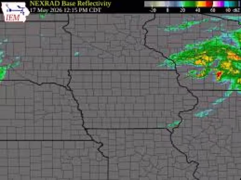
The damage did not stop at Nebraska’s border. Tornadoes were reported in northwest Iowa and southern Minnesota, including near Mason City and Worthington, while thunderstorm wind gusts reached 82 mph near Estherville, Iowa. A grain elevator was damaged in Greenville, Iowa, by strong winds, and Palmer, Nebraska, logged a hail report of 3.5 inches in diameter. On May 18, the storm line was still producing trouble, with more than 300 severe weather reports and 15 tornadoes confirmed so far. Multiple storm chasers witnessed tornadoes in Washington and Marshall counties, Kansas, near Blue Rapids, and damage was reported to grain bins northwest of Frankfort.
The outbreak was broad enough to run from South Dakota to Missouri and from Nebraska into Iowa and Minnesota, with multiple rounds of storms driving the destruction. Severe thunderstorms first developed in south-central South Dakota on Sunday afternoon, then merged into a line that produced hail up to golf ball size, wind gusts up to 80 mph and a few brief tornadoes from Burke and Wagner, South Dakota, to Sioux Falls and Worthington, Minnesota. Another line swept northeast through northeast Nebraska and northwest Iowa Sunday evening, bringing several brief tornadoes and damaging wind gusts of 60 to 80 mph, with a few near 90 mph, from near Sioux City and Salix, Iowa, to Kingsley, Cherokee and Milford. In Le Mars, Iowa, multiple rounds of rain also sent water over roads.
What made this outbreak stand out was not just the number of reports, but the timing and the spread: severe weather kept returning in waves, and the warnings mattered when the worst storms arrived. The fatal losses many would have feared did not come in Saint Libory because people had already moved to safety, even as the storm survey later showed how hard the tornado hit.