


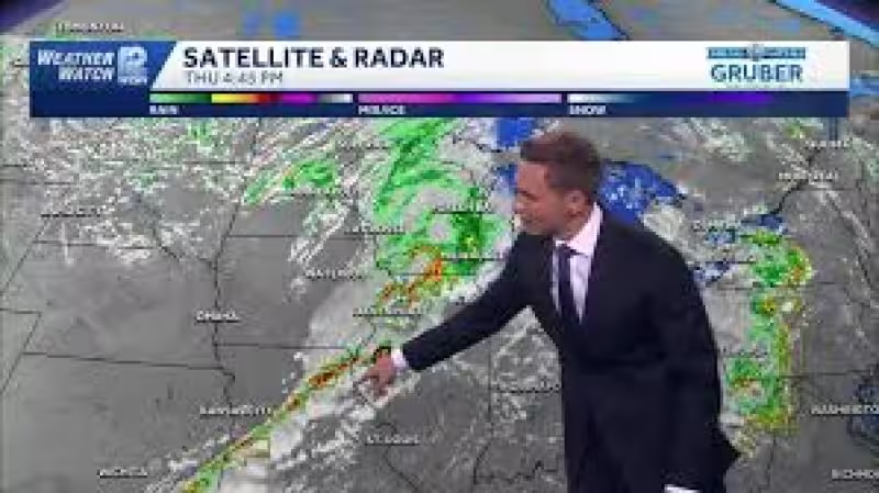
Thursday is a First Alert Day across southern Wisconsin as multiple rounds of severe storms are expected from early afternoon into the early evening. The strongest storms could bring isolated tornadoes, damaging winds, large hail and heavy rain, with the most serious threat expected to build through the afternoon.
A strong weather system will move out of Kansas in the morning, reach northeast Iowa by early afternoon and push into east central Wisconsin by Thursday evening, drawing warm and humid air north ahead of it. That setup gives the region two separate storm chances: a first round late morning into early afternoon that may mainly produce large hail, then the more dangerous round later in the day when tornadoes, wind damage and hail are all possible.
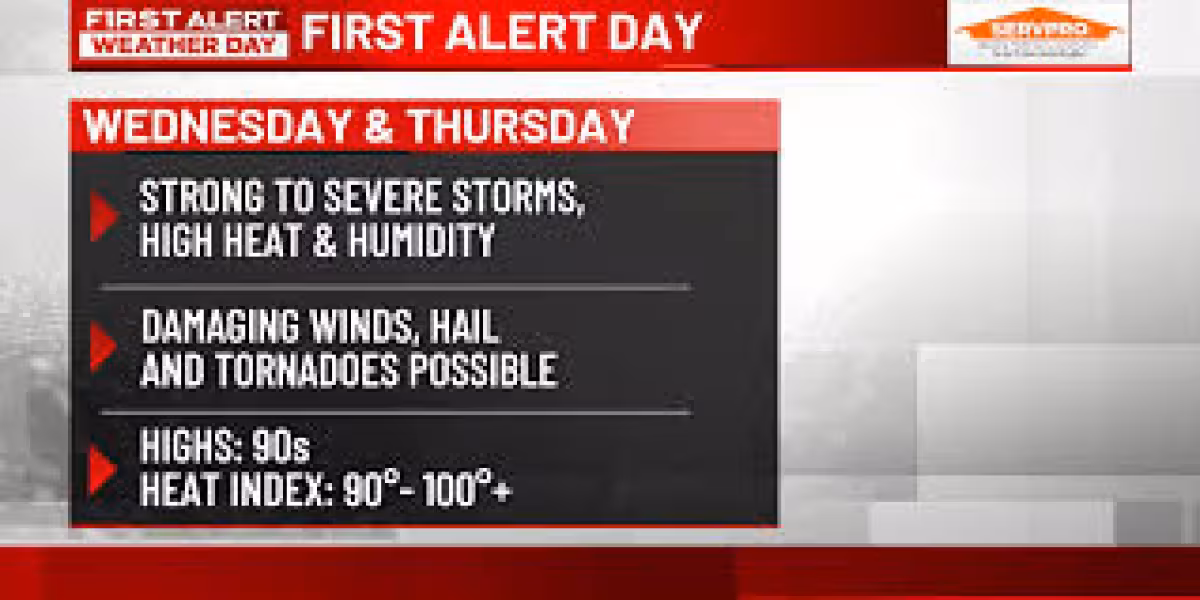
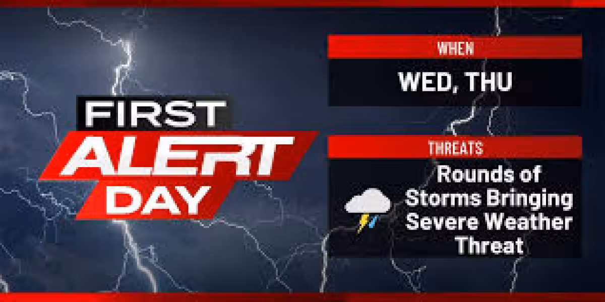
The forecast matters most for people across southern Wisconsin because the storms are timed for the part of the day when they are most likely to organize and intensify. Heavy rainfall is also expected, and flash flooding could become a problem, especially in urban areas where water cannot soak into the ground quickly. Some of the storms could produce significant damage.
By Thursday evening, winds are expected to shift from the west and cooler air will move in, dropping temperatures into the 50s by Friday morning. Friday should turn dry again with light westerly winds and temperatures near normal for mid-June, but the break will not last long. Another round of showers and thunderstorms is possible Saturday afternoon through Saturday night as a weak system arrives from the west.
After that, early next week is expected to turn cooler again, with below-normal temperatures and periodic shower chances lasting through Wednesday as a larger weather system settles over Ontario. For now, the main concern remains Thursday’s storm window, when the worst weather is most likely to hit south-central and southeastern parts of the state and could quickly turn dangerous.


