


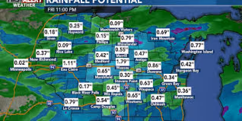
Friday is a First Alert Day in southern Wisconsin as storms are expected to redevelop and some could turn strong to severe. The main risks are large hail, damaging wind gusts and heavy rain, while the tornado threat stays low.
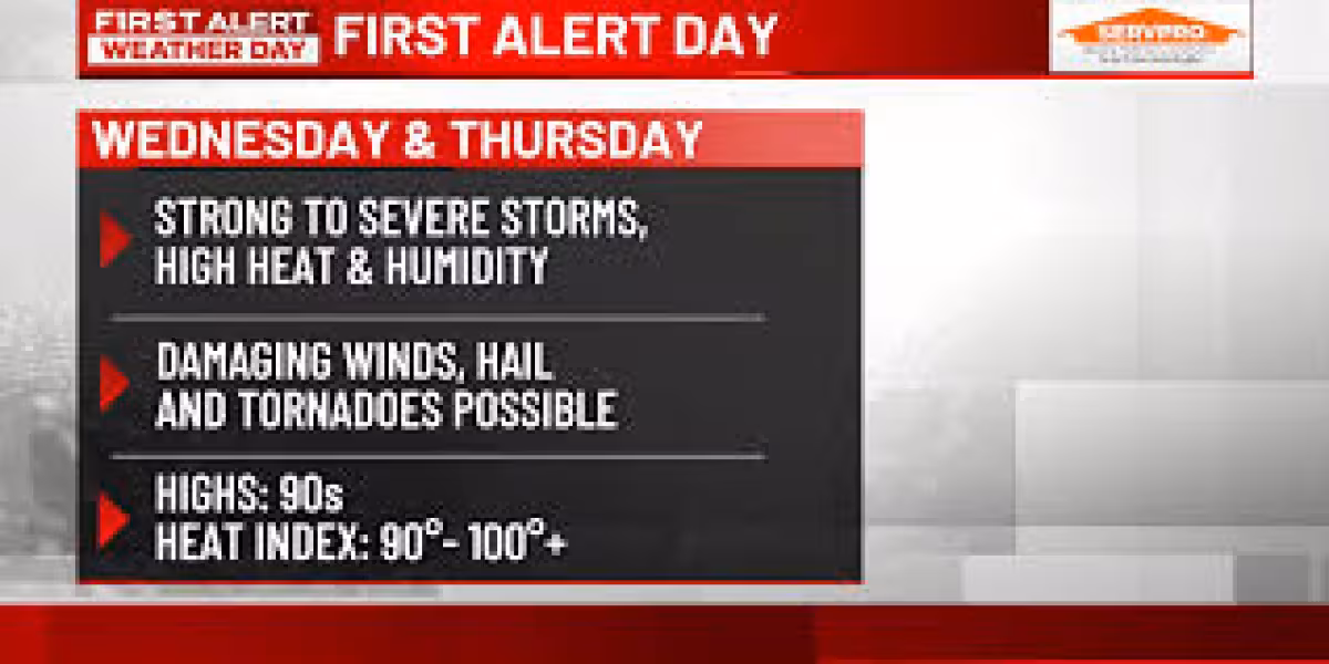
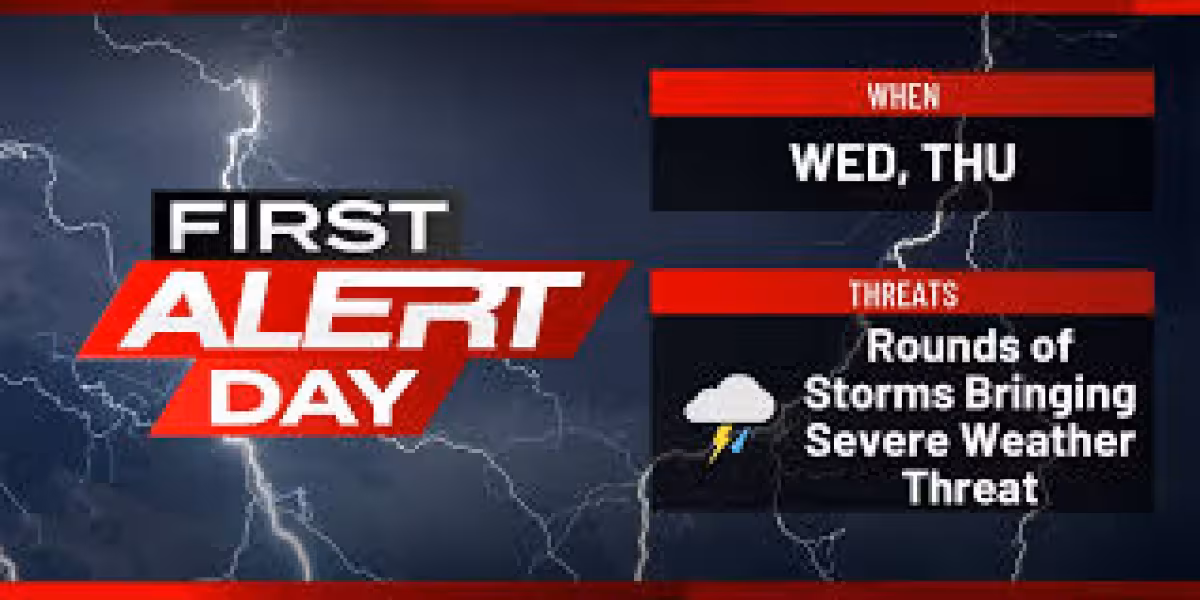
Storms are expected to move into southwestern Wisconsin late Thursday evening, then slide southeast overnight with lightning and gusty winds. Any lingering storms should weaken after sunset and push east into Friday morning, but the atmosphere is expected to reload by afternoon as temperatures climb into the low 80s and scattered thunderstorms develop across the region.

The greatest concern is in areas that catch more than one round of storms. Rainfall totals of one to two inches are possible where storms repeat, and that could lead to ponding in low-lying spots, especially in southwestern Wisconsin where redevelopment is most likely. Friday’s setup is brief, but it is enough to bring a sharp change from a warm afternoon to a period of potentially hazardous weather.
Southern Wisconsin also faces another round Friday evening through Friday night, when additional storms are expected to move in from the north before a cold front pushes through early Saturday morning. Saturday should warm back into the mid-80s, though isolated storms remain possible across far southern Wisconsin in the afternoon. After that, Sunday looks mostly dry with only a few isolated storms possible in southwestern areas before scattered storms return Monday as a weather system moves northeast into the region.
The unsettled stretch leaves one open question for readers in Milwaukee and nearby communities: which counties or cities get the strongest storms Friday. The forecast points to a wide area of concern across southern Wisconsin, but the heaviest rain and most disruptive wind and hail threats will depend on where the storms redevelop most efficiently.


