
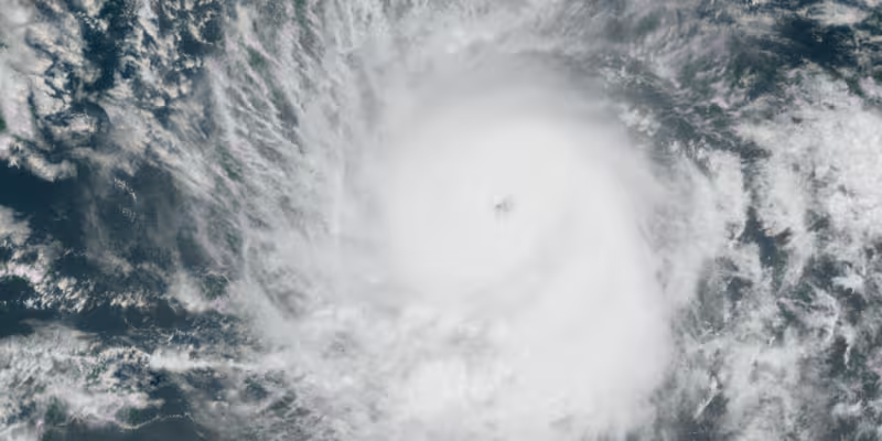
The National Hurricane Center has designated the Eastern Pacific's first area to watch of 2026, giving the cluster of thunderstorms an 80% chance of becoming a tropical system over the next seven days. Forecasters say the disturbance is expected to remain over open water and will not affect land.
The timing matters because people along the coast of Mexico are already being asked to watch the tropics as the Eastern Pacific season gets underway. The FOX Forecast Center said the system is thousands of miles off Mexico, but the high development odds make it the first real feature to track in 2026 and the one most likely to draw attention from anyone checking early-season outlooks.

The Eastern Pacific hurricane season runs from May 15 to Nov. 30, and its first named storm typically forms around June 10. May has produced storms before — 25 tropical storms and 19 hurricanes since 1950, for 44 named systems in all — but early-season activity is still unusual enough to stand out. The last May storm there was Hurricane Agatha in 2022, which moved into Mexico on May 30 as a Category 2 hurricane.

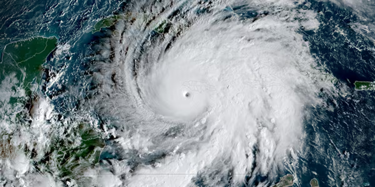
Forecasters also say another area closer to the southwestern coast of Mexico may have a higher chance of tropical development later in June, but the current disturbance is the one getting the earliest and strongest attention. NOAA's Climate Prediction Center is highlighting that separate area while the National Hurricane Center says the first watch zone is well southwest of the Baja California Peninsula.
That said, the high odds do not mean a land threat. As of Friday morning, the disturbance had a near-0 percent chance of forming within 48 hours, and a tropical depression could form in the middle of next week only as the system moves westward or west-northwestward at 10 to 15 mph across the western part of the East Pacific. The broad low-pressure area is forecast to form early next week well to the southwest of the southern tip of the Baja California Peninsula, then gradually organize after that.
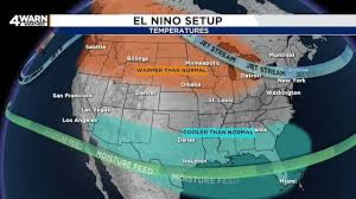
What happens next is straightforward: forecasters will see whether the disturbance becomes a tropical depression, then possibly the first tropical storm of 2026 in the Eastern Pacific. NOAA says there is a 70 percent chance the basin will have an above-normal season, helped by warming waters and an El Niño pattern that usually boosts Eastern Pacific activity while suppressing storms in the Atlantic, which starts June 1. For now, the first question is not whether the system will hit land; it is whether it can organize enough to become this season's first named storm.