


511 Alerts Rise as Twin Cities Winter Storm Threatens Morning Commute
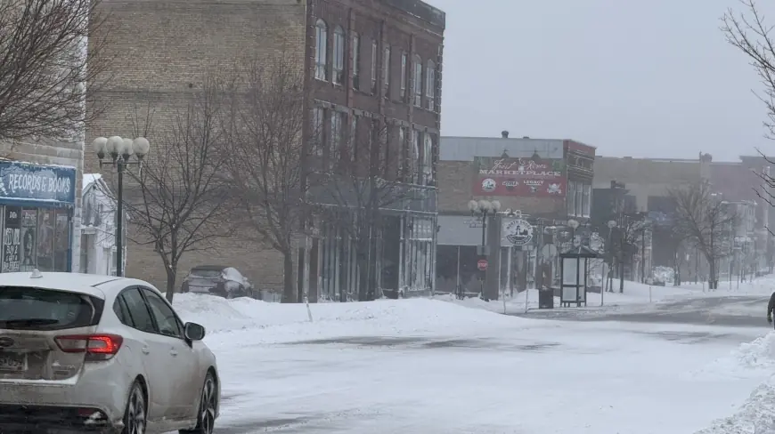
Lingering light snow and strong winds left large swaths of Minnesota under travel stress early Thursday, pushing traffic information systems into heightened alert status for the morning commute. Officials cautioned drivers to expect reduced visibility, scattered road closures and pockets of heavy snow north of the Twin Cities.
Morning commute risk and travel impacts
Travel advisories remain in effect for the central Minnesota area through 9: 00 a. m. ET, with motorists urged to postpone nonessential trips. Local travel alert systems that motorists use for pre-trip planning showed increased activity as agencies closed multiple roads and posted messages about hazardous conditions. Visibility problems from blowing snow were the biggest near-term threat, with plow crews and highway crews working to keep major corridors passable.
Official measurements at Minneapolis–St. Paul International Airport showed 5. 6 inches of accumulation as of 1: 00 a. m. ET. Authorities noted that other parts of the region, particularly along the North Shore and higher terrain, experienced much heavier totals that severely limited travel in those areas.
Storm strength, snowfall totals and timing
The system that began earlier in the week produced a sharp gradient of snowfall. Northern foothills logged the biggest impacts: one community approached nearly three feet of snow, another exceeded two feet, and a major lakeside city recorded almost seven inches by early evening. Strong gusts accompanied the precipitation in places, contributing to dangerous blowing and drifting that reduced highway visibility to near zero in spots.
Storm-track assessments indicate that light snow will linger early Thursday before tapering off. Winds are expected to ease through the day, though areas that saw the most accumulation will contend with lingering travel effects. Another weak system is forecast to arrive Thursday night, bringing light accumulations—generally under an inch—to southeastern Minnesota and parts of western Wisconsin, with potential for localized travel impacts overnight and into Friday morning.
Short-term outlook: colder air and weekend conditions
Colder air filters into the region on Friday, dropping daytime highs into the 20s. Cloud cover will likely persist during the temperature transition, keeping conditions raw for outdoor crews and commuters. The weekend currently looks quieter and drier, with seasonably cold readings and reduced storm potential.
Motorists should continue to monitor statewide traveler information lines and local road condition updates before heading out. Highway agencies remind drivers to carry winter survival gear, allow extra travel time, and avoid unnecessary travel while blustery conditions and low visibility persist.
Storm report compilations through the afternoon showed ongoing falling snow in many locations, widespread blowing snow, and multiple agencies temporarily restricting travel on affected roadways. Emergency and transportation officials emphasized that conditions could change rapidly, especially on secondary roads and higher-elevation routes.
As the region moves into the colder pattern late in the week, the primary concern shifts from heavy snow to slick surfaces and brief refreezes overnight. Commuters should plan for slower traffic and intermittent service interruptions during the morning drive and remain alert for any additional advisories issued before daybreak.