


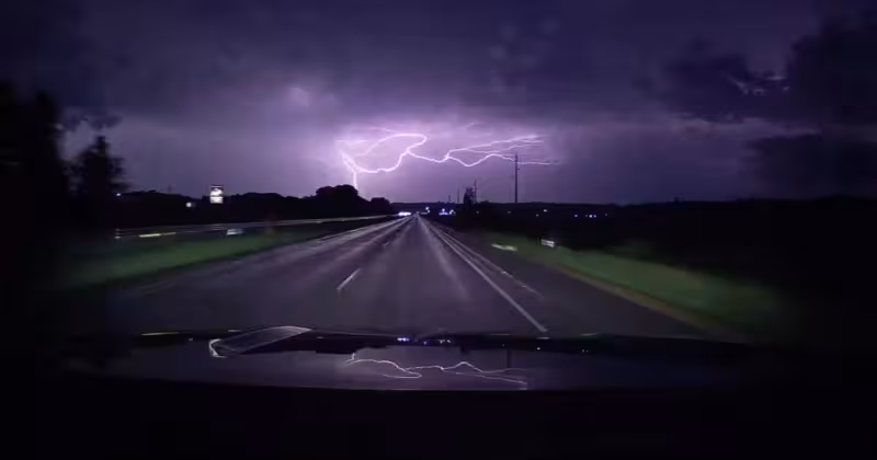
Strong thunderstorms swept across Minnesota overnight and left just over 45,000 Xcel Energy customers without power by 3:45 a.m. Wednesday, as a line of storms moved into the Twin Cities metro and severe weather warnings remained in place across parts of the state.
The outages were spread across 460 separate reports, according to Xcel Energy's outage map, as the storms brought heavy downpours, lightning, thunder and gusty winds. In the Twin Cities metro, wind gusts topped 40 mph around 3 a.m., while a severe thunderstorm warning covered parts of the northeast metro, including Anoka, Chisago, Ramsey and Washington counties, with small hail and winds up to 60 mph possible.
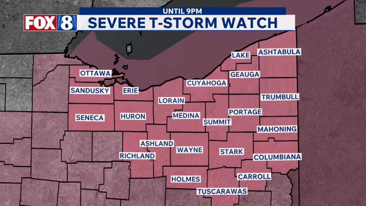

The weather service also issued a special weather statement for areas including Ramsey, Elk River and Otsego, where gusts up to 50 mph and pea-sized hail were possible, and another statement covered Minneapolis, St. Paul and Bloomington with wind up to 40 mph and pea-sized hail. A severe thunderstorm warning was also in effect for Clearwater, Pennington, Polk and Red Lake counties until 3:45 a.m., while Otter Tail County was under a thunderstorm warning until 3:15 a.m. The Twin Cities metro remained under a Severe Thunderstorm Watch until 7 a.m. Wednesday.
The immediate concern was no longer whether the storms would hit Minnesota — they already had — but how much additional damage they could leave behind as they moved east and into Wisconsin. Even with the line of storms pushing out of the state, outages were still affecting thousands of customers in Minnesota before daybreak, and another round of storms was expected Wednesday afternoon and evening, with a few strong storms possible.
That leaves Xcel Energy's crews facing a moving target through the morning. The utility had not said how long repairs would take, and the next round of storms could complicate restoration just as some communities were starting to assess the first wave.


