


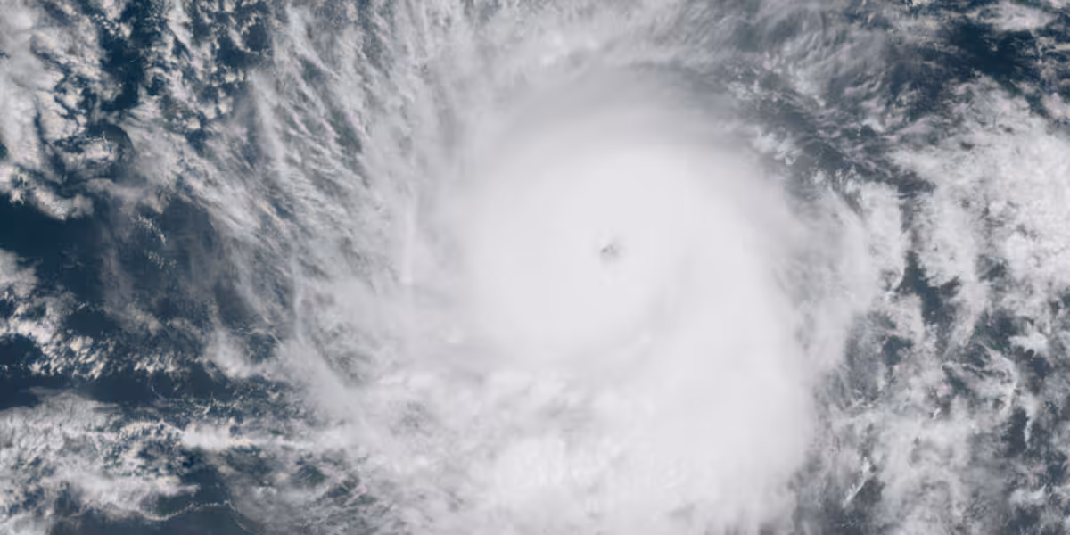
Tropical Storm Amanda became the first storm of the Eastern Pacific hurricane season on Wednesday, spinning over open water about halfway between southern Mexico and Hawaii. It is expected to stay far from land and weaken by Sunday or Monday as dry, sinking air takes hold.
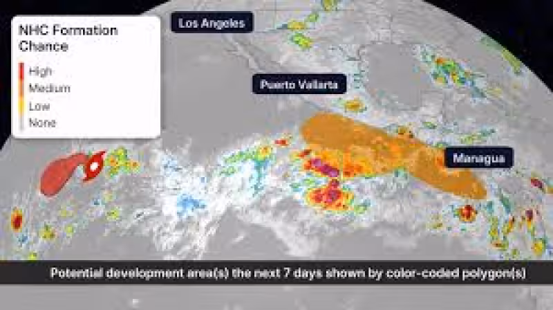
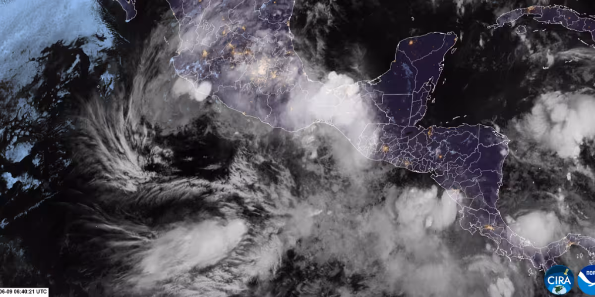
For now, Amanda is a marker of the season's start more than a threat to people on shore. The larger concern is two other areas the National Hurricane Center is watching much closer to Mexico and Central America, where conditions could favor development in the next seven days.
One or both of those systems could become tropical storms next week. One could even strengthen into the season's first hurricane, with the next named storms set to be Boris and then Cristina. The basin is expected to be busy this season, helped by plentiful deep, warmer-than-average water that can support development once a system gets organized.
That said, the forecast is still highly uncertain because neither area has fully formed yet. The National Hurricane Center is tracking two separate possibilities this weekend, and their eventual paths remain unclear. Even tracks that brush closer to the coast could still bring locally flooding rainfall to parts of Mexico and Central America for several days next week.
So Amanda may fade quietly, but it will not be the storm that decides the early shape of the season. The question now is whether either of the nearby disturbances can organize first, and whether the opening stretch of the Eastern Pacific season turns wet before it turns dangerous.


