


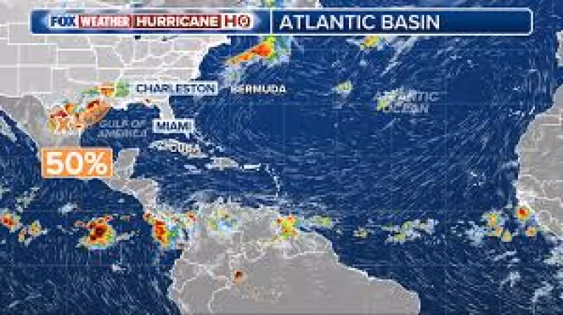
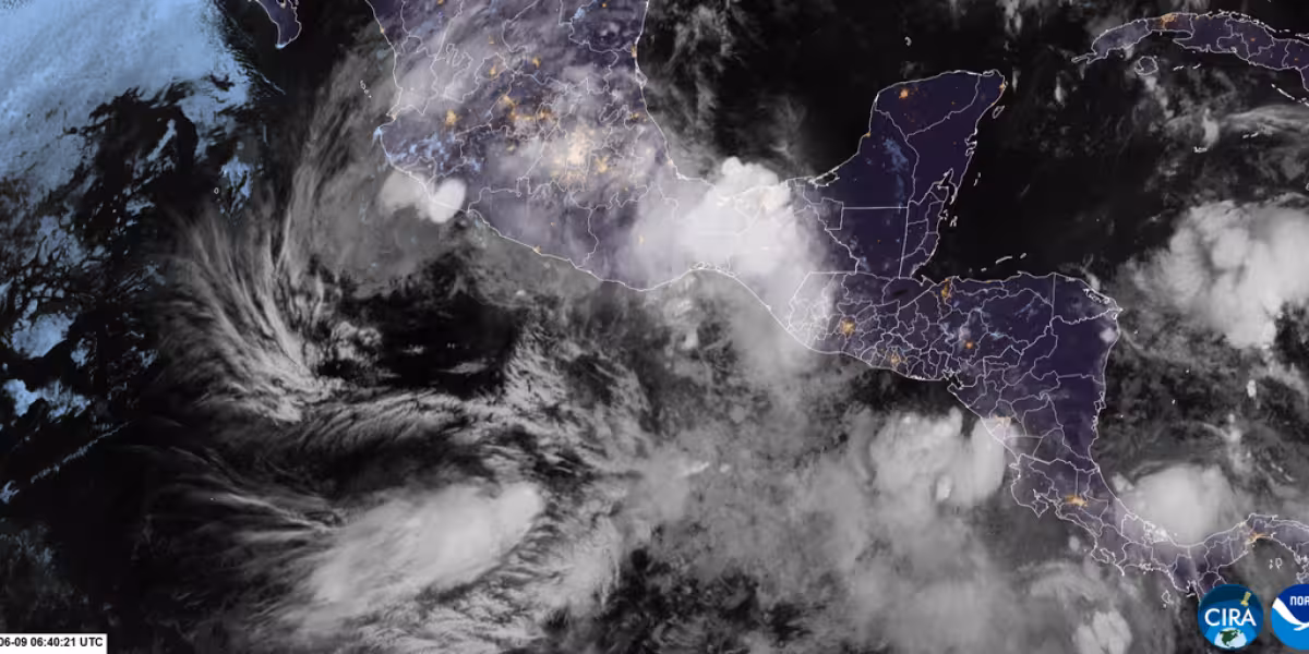
Forecasters at the National Hurricane Center are watching the first tropical disturbance of the year, a trough of low pressure over northeastern Mexico that is already producing disorganized showers and thunderstorms. As of 7 a.m. Monday, it had a 20% chance of forming in the next 48 hours and a 30% chance of development over the next seven days.
The system is expected to stay inland for the next day or so, which should limit its development for now. But it is forecast to reemerge over the northwestern Gulf late Tuesday or Wednesday as a frontal boundary helps pull it back over water, and conditions could become more favorable around the middle of the week.

That shift matters because the disturbance could bring heavy rainfall and flash flooding to parts of eastern and southern Texas and Louisiana this week. If it strengthens into a tropical cyclone, it would be named Arthur, giving the season its first named storm.
The forecast also shows how quickly a weak inland system can change once it gets back over warm water. In a separate update cited by FOX 26 Houston, the National Hurricane Center put the chances of cyclone formation at 40% over the next 48 hours and 50% over the next seven days as of 1 p.m. Monday, a sharper signal that the system may find a better environment after it leaves Mexico.
For now, the key question is not whether the disturbance survives inland. It is whether it can organize after it slips back over the northwestern Gulf. If it does, Texas and Louisiana will be dealing with more than another rainmaker, and the season’s first tropical cyclone could be taking shape just as hurricane season gets underway.


