

Rain on Tuesday gave Spokane a little relief from a dry spring, but it did not close the gap. Spokane International Airport picked up 0.43 inches of precipitation, pushing the month’s total to 0.74 inches and still leaving the city well short of what is normal for May.
National Weather Service meteorologist Daniel Butler said Spokane needs 1.55 inches of rain to match a normal May. At 0.74 inches, he said, the city has less than half of that amount. Parts of Spokane County were still in moderate drought, according to the U.S. Drought Monitor, even after Tuesday’s rain.

The next round of weather looks more unsettled. Downtown Spokane will most likely hit 90 on Thursday, while areas near the airport are expected to reach the high 80s before thunderstorms move in late afternoon and evening. Forecasters expect those storms to leave anywhere from a tenth to a quarter of an inch of new rain.

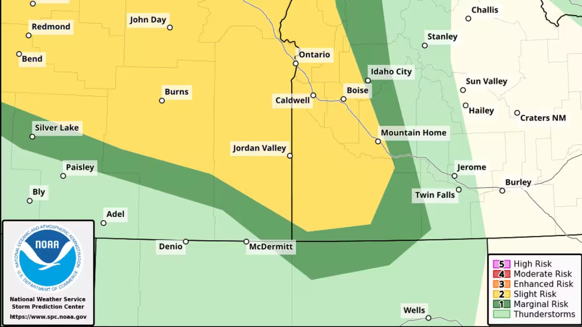

But the rain may not land where it is needed. Butler said the storms could miss Spokane entirely, though if they do hit, they could be enough to push the area closer to normal for the month. That makes Thursday the key day in the outlook: one more shot at moisture, but also another swing toward heat before the weekend.
After that, the forecast cools. There is a slight chance of showers on Friday and Saturday, with highs expected to drop to 77 on Friday and 67 on Saturday. Sunday should reach 69, which would bring a break from the brief burst of heat, but not much evidence that the dry spring is over.
For now, Tuesday’s rain was a step forward, not a finish line. Spokane still needs another 0.81 inches to get to the May average, and whether Thursday’s thunderstorms deliver will decide if the area keeps inching toward normal or stays stuck in deficit.