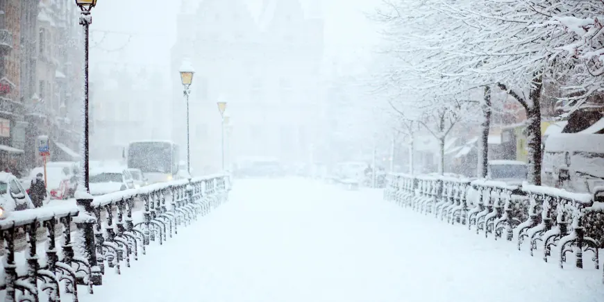
Weather Warning: Snow, Rain and Ice Warnings in Force as Cold Snap Brings Flood and Travel Risk

A series of weather warnings is in force across parts of the UK as a cold snap brings a mix of heavy rain, sleet and hill snow. The weather warning matters now because the combination of falling temperatures, strong winds and concentrated rainfall raises the likelihood of travel disruption, flooding and isolated power cuts.
What happened and what’s new
Forecasters have issued yellow warnings covering rain, snow and ice for parts of Northern Ireland, England, Wales and central Britain. A yellow rain and snow warning came into effect in Northern Ireland early on Wednesday, while southern counties of England are also under a yellow rain warning. Additional yellow warnings for snow are due to begin across parts of Wales, the Midlands and the southern Pennines, with an ice warning for Wales in place during the evening.
Recent meteorological notes show temperatures falling across the country, with some locations in north-east Scotland dropping below -9C. North-westerly winds have contributed to the chill. Rain amounts in the wettest locations are forecast at roughly 30-50 mm in some areas, heightening flood risk in sections already affected earlier in the season. Wind gusts of 45-55 mph are being cited as an additional hazard where the band of wet and wintry weather is strongest.
As the rain band shifts northwards into Wales, the west Midlands and northern England during the late afternoon and evening, some precipitation is expected to turn to snow over higher ground. Several centimetres of snow are forecast above around 150-200 metres, with possibilities of up to 15 cm on the highest ground in parts of mid and south-east Wales, Herefordshire, Shropshire and the southern Pennines. Separate forecasting notes indicate some higher-ground locations in Wales could see as much as 20 cm. At lower levels, a mix of rain and sleet is more likely, with a little wet snow possible at times.
Weather Warning — Behind the headline
Context: A recent drop in temperatures has combined with approaching frontal systems to produce a corridor of heavy rain and wintry precipitation. Forecast guidance has placed yellow-level cautions across multiple regions for a period spanning Wednesday into Thursday morning, reflecting both travel and flood concerns.
Incentives and constraints: The immediate incentive for issuing warnings is the potential for concentrated rainfall to worsen existing flooding and for snow and ice to disrupt road, rail and other services. Constraints on response include ongoing uncertainty in precise snowfall amounts at lower elevations and the timing of the rain-to-snow transition as the precipitation moves northward and inland.
Stakeholders: Residents in affected counties, road and rail operators, emergency services and energy suppliers face near-term exposure. People on higher ground and communities in flood-prone low-lying areas have heightened risk profiles; rural communities in Wales are noted as having a small chance of becoming isolated.
What we still don’t know
- Exact timing and placement of the heaviest rainfall within the broad warned areas.
- Precise snowfall totals at specific lower-elevation towns and transport routes (forecasts agree on higher-ground accumulations but differ on lower-level impacts).
- Which specific local roads or rail services will be disrupted or whether temporary power cuts will occur in particular communities.
- How wind gusts in specific coastal or exposed locations will interact with the precipitation to increase impacts.
What happens next
- Scenario 1 — Heavy rain concentrates in southern England: If 30-50 mm falls in the wettest locations, localized flooding could intensify, prompting travel disruption and possible temporary road closures.
- Scenario 2 — Snow accumulates on higher ground: If several centimetres to 15–20 cm accumulate above 150–250 metres, higher routes and rural communities could face difficult travel and a small chance of isolation; some local power interruptions are possible.
- Scenario 3 — Mix and thaw: If milder air arrives sooner, lower-level snow will be limited and much of the precipitation will fall as rain, reducing long-lived snowfall but maintaining flood risk.
- Scenario 4 — Strong winds amplify disruption: Gusts in the 45–55 mph range could create additional hazards for travel and marine/coastal operations while complicating recovery efforts after heavy precipitation.
Why it matters
Near-term impacts include threatened travel disruption on roads and rail, elevated flood risk in areas already sensitive from earlier rainfall, and potential for temporary power and mobile-service interruptions in some communities. For individuals, the practical advice is to expect slower journeys, possible changes to transport services during the evening and overnight, and to remain prepared for sudden shifts between rain, sleet and snow, especially when moving into higher ground. Policymakers and responders will be focused on making targeted preparations for flooding, clearing priority routes and monitoring vulnerable rural locations that could become cut off.


