los angeles weather: Evacuation Warnings Issued for Burn Scar Areas Ahead of Powerful Winter Storm

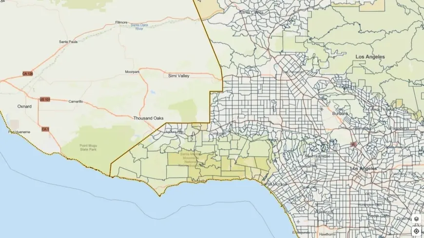
City and county officials have activated evacuation warnings for neighborhoods built on recent wildfire burn scars as a potent winter storm moves into the region. A flood watch covers a broad swath of Los Angeles County from Monday morning through Monday evening (all times ET), and emergency teams are urging heightened vigilance for flash flooding, mud and debris flows, and damaging winds.
Who is under warning and what to expect
Evacuation warnings target parcels near terrain recently affected by wildfires, where burned slopes are prone to rapid runoff and unstable soils. These areas are at elevated risk of rock and mud slides, and debris-laden flows that can sweep down canyons and into neighborhoods. Warnings remain in effect for selected locations through 9 a. m. ET Tuesday; residents in those zones are being asked to prepare to leave immediately if officials upgrade to mandatory evacuation orders.
Forecasters have highlighted the potential for intense rainfall rates — up to one inch per hour in some cells — along with strong gusts reaching around 60 mph and the possibility of brief tornadoes embedded in thunderstorms. Those conditions increase the threat of sudden, fast-moving flows on burn scars and make travel hazardous across the county.
Timing, hazards and public-safety measures
The flood watch covers Monday morning through Monday evening ET, with the most intense rainfall expected during that window. Steep terrain and recently burned hillsides will be the chief concern: heavy runoff can rapidly erode loose soil and carry boulders, trees and other debris downslope. Urban flooding and clogged storm drains may also create dangerous roadway conditions, and travel after dark will be especially risky.
Local leaders emphasize that this is likely to be another significant rain event and encourage residents to plan ahead. Emergency responders, public works crews and city personnel have mobilized to clear drains, pre-position equipment and coordinate outreach. The county has activated measures to protect vulnerable populations, including outreach to people experiencing homelessness and temporary shelter options where needed.
Practical steps for residents and drivers
Residents in warned areas should take immediate preparedness steps: assemble a grab-and-go bag with essential documents, medication, water, and warm clothing; move vehicles to higher ground; secure outdoor items that could wash away or be lofted by wind; and create an evacuation plan that identifies a safe destination and multiple routes out. Keep a battery-powered radio or charged mobile phone handy for emergency notifications.
Drivers should avoid flooded roadways — never drive through standing or flowing water — and watch for debris, downed trees and reduced visibility in heavy rain. Slow down on wet pavement, maintain extra following distance, and use headlights to improve visibility. If emergency warnings escalate to mandatory evacuations, follow directions from first responders without delay.
Officials stress that those living outside designated burn-scar zones should still be cautious: localized flooding, downed power lines and wind damage are possible countywide. Stay tuned to official advisories and be prepared to act quickly if conditions deteriorate.
As the storm unfolds, crews will continue to monitor burn-scar areas and respond to incidents. Residents are urged to remain alert through Tuesday morning ET and to heed evacuation orders when issued.


