weather los angeles: Evacuation Warnings Issued as Powerful Winter Storm Threatens Burn Scars

Officials have issued evacuation warnings for neighborhoods built near recent wildfire burn scars as a strong winter storm moves through the region, bringing heavy rain, thunderstorms and the potential for dangerous debris flows. A flood watch is in effect from Monday morning through Monday evening ET, and emergency teams are mobilizing ahead of expected impacts.
Evacuation warnings and burn-scar hazards
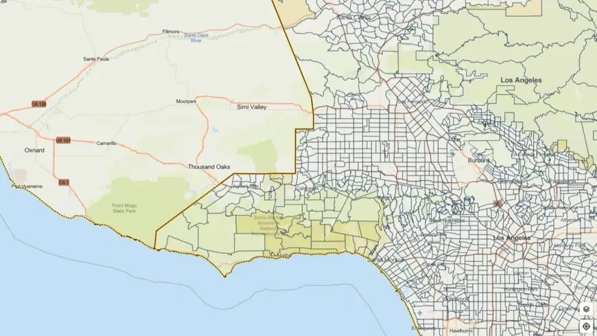
Communities adjacent to slopes burned by recent wildfires are being urged to prepare for possible evacuation. Burn scars dramatically increase the chance of fast-moving debris flows, rock and mudslides; soils on those slopes lose their ability to absorb water, so heavy downpours can trigger sudden, destructive flows of mud and rocks.
Evacuation warnings cover select parcels near those burned areas, with notices remaining in effect through 9 a. m. Tuesday ET. Residents in the flagged zones should be on alert for any escalation from warning to mandatory evacuation, and make plans to move to safer locations quickly if instructed to do so.
Storm forecast and severe weather threats
The incoming winter storm is expected to produce periods of heavy rainfall and thunderstorms across the county. Forecast guidance highlights the possibility of intense rain rates—approaching an inch per hour in localized bursts—along with strong gusts that could reach 60 mph and isolated small tornadoes embedded in convective cells.
These combined hazards raise the odds of flash flooding in low-lying and urban areas, dangerous surf in coastal zones, and hazardous driving conditions. Steep terrain and roads beneath burn scars are particularly vulnerable to rapid changes in conditions; those areas could see sudden erosion, falling rocks and channelized debris flows that sweep downhill.
Preparations, response and next steps for residents
City and county emergency crews, public works teams and first responders are staging equipment and personnel to respond to incidents as they arise. Local leadership has emphasized extra outreach to vulnerable populations, with temporary shelter options being coordinated to assist those in high-risk locations.
Residents should take practical steps now: review family evacuation plans, pack an emergency kit with essential items, secure outdoor objects that can become projectiles in high winds, and move vehicles away from flood-prone streets. Avoid driving through standing water—just a few inches can stall a car or sweep it off the road—and steer clear of streams, riverbanks and recently burned slopes during heavy rainfall.
Those living near the evacuation-warned parcels should identify an evacuation route and a safe destination, check on neighbors who may need assistance, and keep phones charged for emergency alerts. If an evacuation order is issued, follow official instructions immediately and do not return to affected areas until they are declared safe.
Storm timing remains subject to change, but the most intense period is expected between Monday morning and Monday evening ET, with some lingering impacts possible into Tuesday morning. Stay tuned to local emergency channels for updates and heed any directives from public safety officials to reduce risk to life and property.


