


los angeles weather: Evacuation Warnings Issued for Burn-Scar Areas Ahead of Major Winter Storm
City and county officials have issued evacuation warnings for communities near recent wildfire burn scars as a powerful winter storm moves into the region. A flood watch covered much of the county from Monday morning through Monday evening ET, and emergency teams have mobilized to prepare for heavy rain, gusty winds and potential debris flows.
Evacuation warnings and burn-scar risks
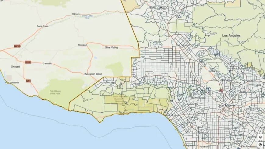
Evacuation warnings are focused on parcels adjacent to slopes and canyons where recent fires stripped protective vegetation, increasing the risk of rock and mud slides. Officials urged residents living in those vulnerable areas to be prepared to leave on short notice and to follow any evacuation orders that may follow the warnings. The evacuation warnings remain in effect through 9 a. m. ET Tuesday for select zones and could be expanded depending on rainfall intensity and local conditions.
Burn scars can turn hillsides into conduits for fast-moving flows of mud, rocks and debris. Even moderate rainfall can trigger hazardous debris flows where soil stability was compromised by wildfire. Steep terrain and narrow canyon roads make some neighborhoods particularly susceptible and complicate evacuation and emergency response efforts.
What the storm will bring
Forecasters cautioned that the system could bring intense bursts of rainfall, with localized rates reaching about an inch per hour in the heaviest cells. Strong wind gusts — potentially up to roughly 60 mph in exposed locations — and lightning were also possibilities. Brief but severe thunderstorms and small tornadoes were noted as risks in some forecasts, heightening the potential for localized damage and downed trees.
Heavy, concentrated rainfall over burn scars raises the immediate threat of debris flows that can sweep across roads and into communities with little warning. Low-lying areas and drainage channels could experience rapid rises in water level, and urban flooding is a concern in parts of the county. Drivers are advised to avoid flooded roadways and to use extreme caution on wet streets, where hydroplaning and reduced visibility increase crash risk.
Preparations, response and steps residents should take
Local emergency management, public works crews and first responders have been staged to respond to incidents and clear critical routes as needed. Outreach teams are working to reach vulnerable populations, and temporary accommodations have been readied to support people displaced by storm impacts. Officials emphasized planning ahead: identify several evacuation routes, keep a go-bag with essentials, and know where you would shelter if asked to leave.
Residents in high-risk areas should monitor emergency alerts and local advisories, keep charged phones and portable chargers handy, and avoid travel during the height of the storm unless necessary. If you live below burned slopes or near creek beds and drainage channels, move important items and vehicles out of flood-prone areas and be prepared to relocate quickly if conditions deteriorate.
Road crews and emergency teams will be actively monitoring debris-flow-prone corridors. If you encounter a barricade, turn around and seek an alternate route. Never attempt to drive through moving water or over debris-laden roads.
With significant rainfall expected and hazards amplified in burn-scarred terrain, officials urged all residents to take the warnings seriously and make safety preparations now. Timely action can reduce risk and ease the burden on emergency responders during a fast-moving storm.