


los angeles weather: Evacuation Warnings Issued for Burn-Scar Areas as Winter Storm Approaches
Los Angeles officials have issued evacuation warnings for people living in wildfire burn-scar zones as a potent winter storm moves through the region. A flood watch will affect much of the county from Monday morning through Monday evening ET, and emergency managers are urging residents in vulnerable areas to prepare now for heavy rain, flash flooding and debris flows.
What the warnings mean for at-risk neighborhoods
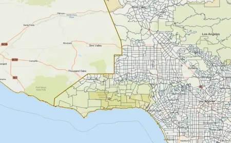
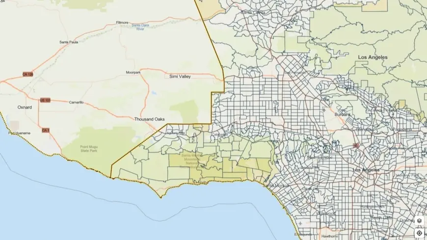
Evacuation warnings are in effect for select parcels near recently burned slopes, with officials keeping the warnings active through 12: 00 p. m. ET on Tuesday. Those alerted are advised to be ready to leave quickly if an evacuation order is issued. Rock and mud slides are possible where terrain is steep, and burn scars are particularly vulnerable to fast-moving debris flows during intense downpours.
Emergency teams have highlighted several hazards tied to this system: intense rain rates that could reach one inch per hour in some places, gusts up to 60 mph in exposed areas, severe thunderstorms and isolated small tornadoes. The combination of saturated soils and steep, fire-scarred hillsides raises the risk that heavy rainfall will mobilize ash, loose soil and boulders into downhill channels and roadways.
Precautionary steps and city/county actions
City and county responders have activated resources and are coordinating to protect residents and the most vulnerable. Outreach to people experiencing homelessness in high-risk areas has been stepped up, with motel vouchers and shelter options being used to reduce exposure ahead of the worst weather. Public works crews and emergency personnel are staging equipment and monitoring vulnerable drainage channels and roadways.
Residents are being urged to take simple but vital precautions: make an evacuation plan, pack an emergency kit, secure loose outdoor items, and avoid driving through flooded roads or near steep slopes. If you are in a burn-scar area, consider relocating to higher ground temporarily, and keep a charged phone and important documents accessible. Those who receive evacuation warnings should not wait to act if conditions worsen and orders are issued.
Expectations for the storm and staying informed
Forecasters say the storm will bring a wide swath of heavy rain and thunderstorms across the county. Travel could be hazardous as rainfall reduces visibility and creates flooded streets; high winds may down trees and power lines. The potential for localized flash flooding and debris flows is the primary reason for the heightened alerts in hillside communities.
Officials advise monitoring local emergency alert systems and official channels for the latest evacuation notices and safety instructions. Drive with extreme caution, avoid unnecessary travel during peak rainfall, and steer clear of flood-prone creek channels and burn-scar slopes until officials declare conditions safe. In the event of sudden flooding or debris flow, move to higher ground immediately and follow directives from first responders.
This event is expected to be a significant rain episode for the region, and authorities emphasize that preparation now can reduce risk during the storm. Keep emergency contacts handy, check on neighbors who may need assistance, and stay alert for updates through official alerting systems as conditions evolve.