


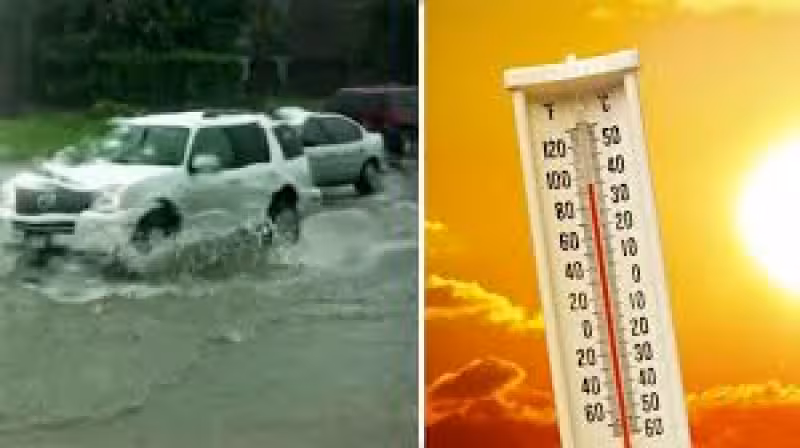
Scattered showers and storms are expected to return to Houston on Sunday, and the first problem may be street flooding rather than a full washout. The setup builds through the day, with a passing shower possible in the morning before storms ramp up around noon and the strongest lightning and heavy rain risk arrives between 2 p.m. and 8 p.m. Sunday.
The rain is tied to a low-pressure system in the Bay of Campeche that will funnel deep tropical moisture into the area beginning Sunday. The chance of that system becoming a named tropical storm is small, but rainfall totals could still be significant with or without one.
For people heading outdoors, the timing matters. Afternoon downpours and slow-moving rain clusters could create street flooding, and the threat does not end on Sunday. Monday is expected to bring widespread heavy rain, more afternoon downpours and the highest street flooding threat of the stretch, before the last round of widespread heavy rain arrives Tuesday morning.

By early afternoon Tuesday, organized thunderstorms are expected to move out of southeast Texas, but not before much of Houston sees a soaking. Rain totals from Sunday through Tuesday are expected to run from 1 inch to 3 inches, with a few spots getting 5 inches to 6 inches. Lingering moisture is expected to keep rain chances around through Juneteenth, after which the weather is expected to swing back to another hot and humid stretch.
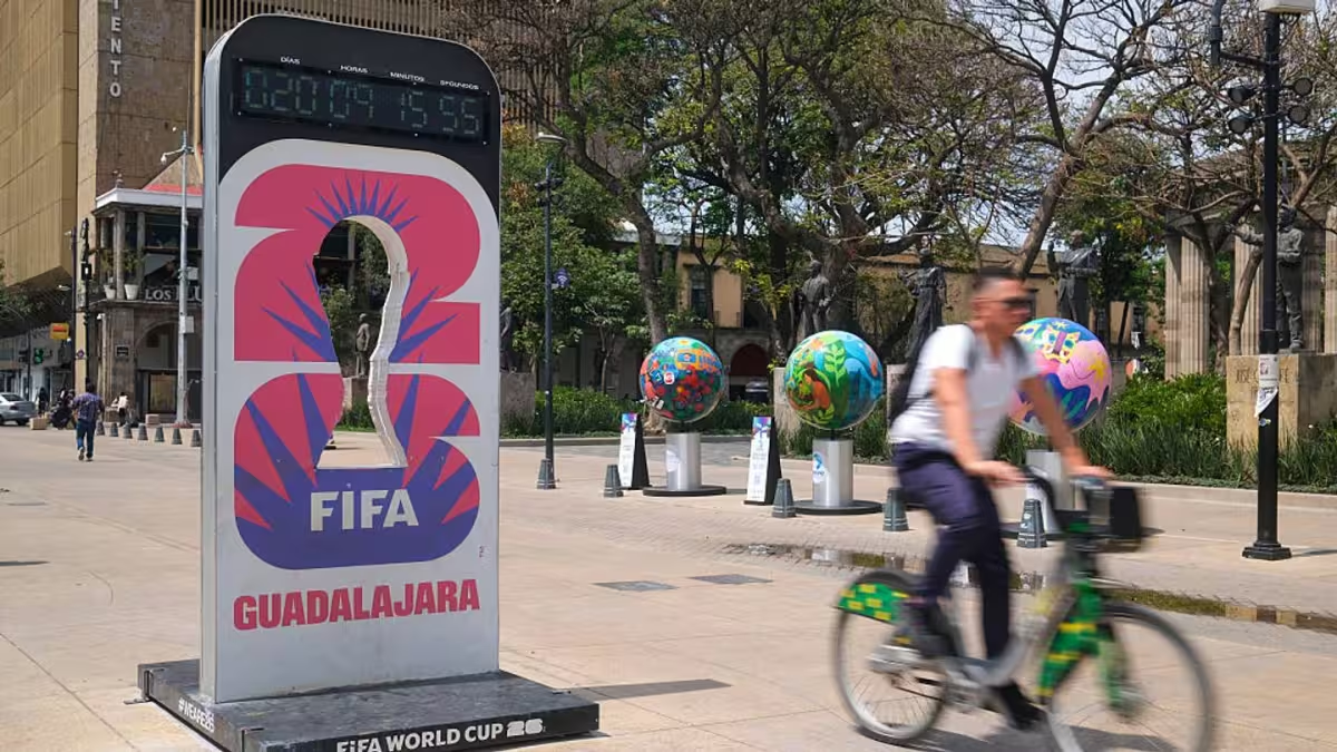
The unsettled weather lands during the city’s World Cup festivities, including the Germany vs Curacao match at Houston Stadium, and it could complicate crowd movement at FIFA Fan Festival. If lightning is detected within an eight-mile radius, fans will need to leave the grounds and move to a safe location. The gates can reopen only after 30 minutes pass without another lightning strike in that radius, and the clock resets each time lightning is detected again.
The main question now is not whether Houston gets rain, but where the heaviest bands set up and whether any of them dump enough water to turn a routine storm pattern into real street flooding.


