Wind Advisory Forces Drivers and High‑Profile Vehicles to Adjust Plans Across Southern Michigan

Why this matters now: a wind advisory is hitting the southern tier of Michigan on Friday during a rapid swing from warm, foggy conditions to colder, windier weather — a sequence that will first pinch commuters and drivers of high‑profile vehicles and then shift the region toward rain and a weekend return of snow.
Wind Advisory: who will feel it first and what to prepare for
Here’s the part that matters: the advisory covers the state's southern counties and is expected to bring southwesterly winds with sustained speeds near 30 mph and gusts up to 45 mph. The strongest gusts are likely during the afternoon, and guidance places the advisory in effect through 9 p. m. on Friday, with start times described between Friday morning and mid‑morning in local notices; exact timing can vary by county.
High‑profile vehicles — tractor‑trailers, SUVs and recreational vehicles — are particularly vulnerable to gusty conditions, and driving may be difficult for anyone in exposed or tall vehicles. Officials warned that unsecured objects could be blown around, tree limbs may fall and a few power outages are possible.
- Impacts on commuting: dense fog has already reduced visibility to a quarter‑mile or less in places this week, compounding risks when strong winds arrive.
- Who to watch: motorists in high‑profile vehicles and residents with outdoor furniture or weak tree limbs should plan ahead.
- Short‑term signal to follow: if gusts trend toward the upper end of forecasts during Friday afternoon, expect more scattered outages and travel delays.
- Weekend pivot: cooler air and returning snow will shift priorities from wind mitigation to slick roads and colder lows.
What’s happening now and how conditions are expected to evolve
Weather this week has been volatile: hail and dense fog preceded the incoming winds, and rain showers are expected to accompany the stronger winds across much of southern Michigan on Friday morning. Temperatures will be milder early Friday, with a forecasted high near 49 degrees, before dropping into the 40s and upper 30s over the weekend.
Snow is slated to return Sunday for southern parts of the state, with one major city listed at roughly a 70% chance and the southwest region given about an 80% chance of snow. Colder temperatures and lingering snow showers may persist into Monday, especially in the southwest.
Micro timeline (key moments this week):
- Midweek: hail was reported in multiple communities across the region.
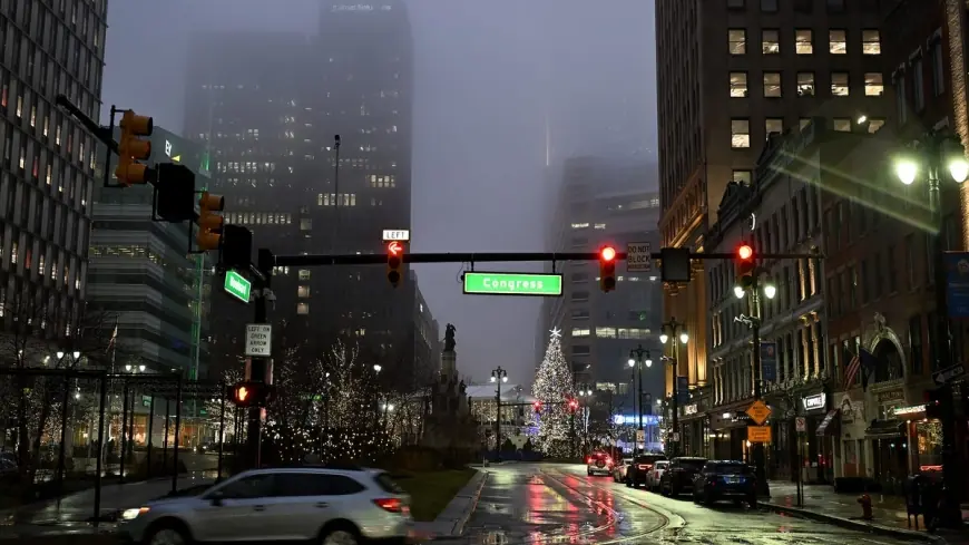
- Thursday morning: dense fog reduced visibility and slowed commutes in parts of southeast Michigan.
- Friday: wind advisory through 9 p. m., with rain showers and gusts up to 45 mph likely; milder daytime highs near 49F before cooling.
- Sunday: colder air arrives and snow chances rise across southern Michigan.
What’s easy to miss is that the current pattern — a stalled warm front giving way to colder air — compresses several hazards into a short time span, which raises the chance for cascading impacts like wet roads turning to slush as temperatures fall.
The real question now is how communities and travelers balance preparations for wind damage and travel disruption on Friday with the need to shift to winter‑weather readiness by the weekend. Motorists should allow extra travel time, use low‑beam headlights in fog, and secure loose outdoor items where possible.
Recent guidance emphasizes caution but leaves some timing details flexible; officials noted start times that range from Friday morning to mid‑morning in different announcements, so local notices should be watched closely for county‑specific timing.
If you’re wondering why this keeps coming up, it’s because the stalled warmth and the arriving cold are operating on a tight schedule: fog and showers give way to windy, gusty conditions Friday, then colder air closes the door on the weekend with renewed snow chances.
Editor’s aside: The bigger signal here is how quickly northern midwinter patterns can shift from mixed precipitation and fog to gusty wind and accumulating snow — that rapid flip is what strains travel plans and local response this week.


