


mn school closings expand as powerful winter storm forces road shutdowns and travel warnings
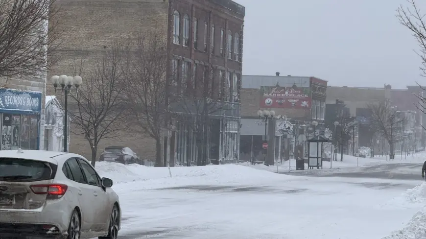
A potent winter storm that moved across the state this week has prompted widespread mn school closings and emergency measures. Heavy snowfall, low visibility from blowing snow, and locally extreme wind gusts have left transportation officials ordering road closures and districts cancelling classes as communities cope with hazardous conditions.
Closings and cancellations
School districts across many parts of the state announced closures or remote-learning days after accumulating snowfall and dangerous travel conditions made it unsafe for buses and staff. Closings were updated through Wednesday afternoon; districts said decisions were made to prioritize student and staff safety amid rapidly changing roads and visibility.
Officials urged families to check their local school district notifications for the latest status updates and to allow extra time for any necessary communication about makeup days or schedule adjustments. Administrators emphasized that decisions will be revisited as conditions improve and whether travel corridors reopen.
Travel impacts, closures and safety guidance
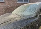
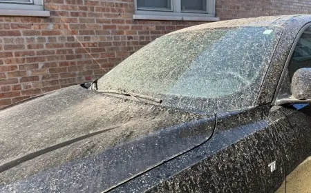
State transportation authorities closed multiple highways and recommended avoiding nonessential travel after roads became treacherous from snow, ice and blowing snow. Visibility was severely reduced in many corridors, creating a high risk for spinouts and multi-vehicle crashes.
Motorists were advised to delay trips until surfaces are cleared and visibility improves. For those who must travel, officials advised carrying emergency supplies, ensuring phones are charged, and letting someone know destination and route. High-profile closures will remain in effect until crews can safely clear lanes and restore normal operations.
Storm strength, forecast and expected impacts
The storm produced strong winds and heavy, at times blinding, snowfall that intensified whiteout conditions. The National Weather Service logged numerous storm reports through 1: 00 p. m. ET Wednesday detailing gusty wind events and heavy snow bands. In some areas, wind gusts reached record levels, exacerbating drifting and reducing visibility for extended periods.
Forecasters expect the worst of the storm to persist into Thursday, with pockets of heavy snow and continued gusty winds. Snowfall totals will vary by location, but the combination of wind and snow—rather than snowfall amounts alone—has driven the most hazardous conditions, producing widespread blowing snow and large drifts that have closed lanes and made secondary roads impassable.
What families and commuters should do now
Parents should confirm school status through their district’s official channels before heading out and make contingency plans for childcare if closures continue. Commuters should postpone travel when possible and track road condition updates before departing. If stranded, individuals should stay with their vehicle, conserve fuel, run the engine intermittently for heat while ensuring the tailpipe remains clear, and display a distress signal to alert responders.
Transportation and emergency officials warned that recovery and full reopening of affected routes could take time, particularly where drifting and limited visibility hinder clearing operations. Communities were urged to watch for updates, prepare for continued impacts into Thursday, and avoid unnecessary travel until crews declare routes safe.