


los angeles weather: Evacuation Warnings Issued as Winter Storm Threatens Burn Scars
An intense winter storm moving into Southern California has prompted evacuation warnings for neighborhoods built near recent wildfire burn scars, with public officials urging residents to prepare for heavy rain, gusty winds and possible debris flows. The threat window runs through early Tuesday, with significant rain and localized severe weather expected.
Flood watches and high-impact rain through Monday and into Tuesday
A flood watch covers a broad portion of the county from Monday morning through Monday evening ET, and hazardous conditions are expected to persist into the overnight period and into Tuesday morning. Meteorological forecasts warn of intense rainfall rates—locally approaching one inch per hour—that can overwhelm drainage systems, leading to rapid runoff and flash flooding.
Forecasters have highlighted the potential for severe convective activity embedded within the storm, including isolated small tornadoes and damaging straight-line winds that could top 60 mph in exposed areas. Those factors, combined with saturated soils, increase the risk of dangerous mud and rock slides on steep slopes.
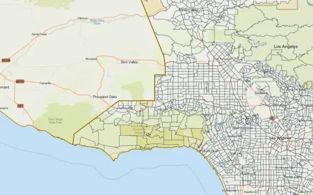
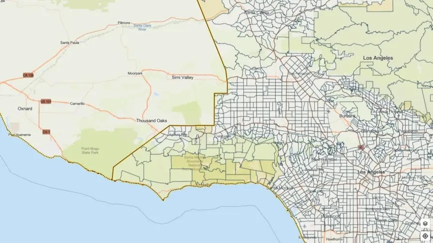
Burn scars at elevated risk; evacuation warnings in effect
Communities situated below recent burn scars face heightened danger because vegetation that normally slows and absorbs runoff has been removed by fire. Debris flows—fast-moving mixtures of water, mud, rocks and burned vegetation—can travel quickly and with little warning. Evacuation warnings have been issued for select parcels adjacent to scarred hillsides, and residents in these zones are being urged to pack emergency supplies and be ready to leave on short notice should an evacuation order be announced.
City and county emergency teams, along with public works crews and first responders, have been mobilized to prepare for impacts and to respond where needed. Officials emphasize that preparations now—moving vehicles out of low-lying areas, clearing gutters and securing loose outdoor items—can reduce damage and speed recovery after the storm.
Support for vulnerable residents and travel cautions
Local authorities are coordinating outreach to vulnerable populations, including sheltering options and motel placements for individuals who may need temporary housing. Emergency managers say resources have been activated to assist those at greatest risk and to prioritize safety for people living in high-risk zones.
Drivers should expect hazardous road conditions from heavy rain, standing water and reduced visibility. Officials advise avoiding nonessential travel during peak rainfall and exercising extreme caution on hillsides and known flood-prone corridors. Motorists are reminded that bridges, underpasses and low-water crossings can become impassable quickly when floodwaters rise.
Residents are encouraged to monitor official emergency alerts, keep a battery-powered radio or charged mobile device available, and follow the guidance of local emergency personnel. If you live in or near a burn scar, review your evacuation plan now and be prepared to move to higher ground immediately if conditions worsen. The alert period extends through 9 a. m. Tuesday ET for some of the most vulnerable parcels, and authorities may issue evacuation orders if rapid deterioration occurs.
This developing situation could change rapidly; remain vigilant, limit travel during the storm, and prioritize safety for those in high-risk locations.