


Evacuation Warnings Issued as weather los angeles Braces for Heavy Rain, Flooding and Wind
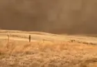
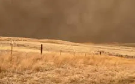
A powerful winter storm sweeping into Southern California has prompted evacuation warnings for residents in wildfire burn-scar areas and a countywide flood watch. Officials are urging heightened vigilance as heavy rain, strong winds and the threat of debris flows threaten vulnerable slopes and communities.
Evacuation warnings and burn-scar danger
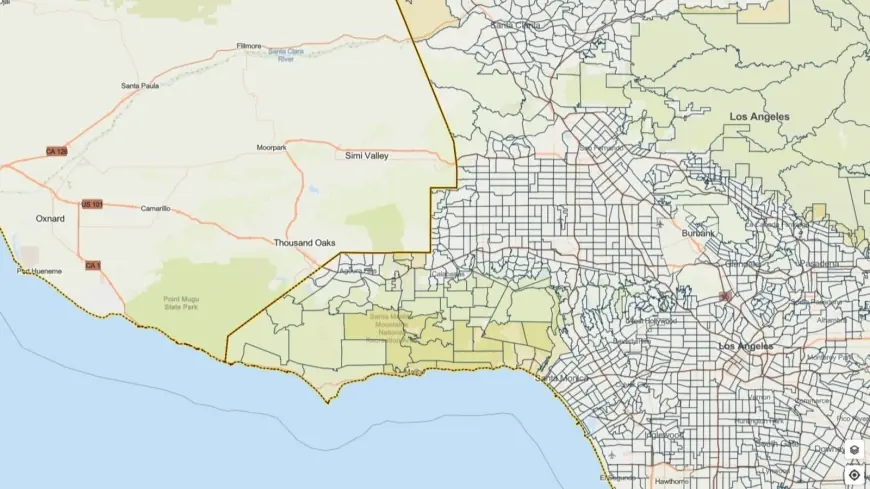
Local authorities have placed evacuation warnings on parcels near recent wildfire burn scars. Those areas remain at elevated risk for rock and mudslides, rapid debris flows and flash flooding when heavy precipitation hits scorched, denuded terrain. The flood watch covers a broad swath of the county from Monday morning through Monday evening ET, with evacuation alerts in effect through 9 a. m. Tuesday ET for some high-risk locations.
The National Weather Service has highlighted the potential for severe weather embedded in the storm, including localized thunderstorm downpours producing one-inch-per-hour rainfall rates, damaging wind gusts near 60 mph and even isolated small tornadoes. These conditions increase the likelihood that runoff will rapidly mobilize loose soil and ash on steep slopes.
What officials are doing and how residents should prepare
City and county agencies have positioned first responders, public works crews and emergency management teams to respond quickly to incidents and clear impacted roadways. Outreach to vulnerable populations is being stepped up, with shelter options and motel placements made available for those in need during the storm window.
Residents in and near burn-scar zones are advised to be ready to evacuate on short notice. Practical steps include assembling an emergency kit with medications, identification, cash and essential documents; planning multiple evacuation routes; securing outdoor items that could be swept away; and avoiding travel when heavy rain is falling. Drivers should exercise extreme caution: heavy rainfall can create sudden ponding, reduce visibility and trigger roadway debris or closures.
Timing, forecast details and safety reminders
The storm is expected to produce the most intense impacts Monday into early Tuesday ET. Periods of heavy rain and embedded thunderstorms could produce rapid runoff and localized flash flooding, especially in foothill and canyon communities. Gusty winds may down trees and power lines, creating additional hazards.
Officials emphasize staying informed official emergency alerts and local government channels, adhering to evacuation instructions if issued, and keeping clear of streams, arroyos and burn-scar slopes during and after heavy rainfall. Even after rain subsides, debris-flow threat can persist as runoff loosens accumulated ash and sediment.
Prepare now rather than waiting for conditions to deteriorate. With potentially fast-moving hazards, early action gives the best chance to protect life and property during this significant weather event.