Philadelphia Faces Extreme Cold: Snow Melt Timeline Revealed
Meteorologists have issued several warnings for extreme weather conditions affecting South Jersey, southeast Pennsylvania, and Delaware. A wind advisory and high wind warning were announced for Saturday, alongside an extreme cold warning running from Saturday morning to Sunday afternoon.
Extreme Cold Conditions Forecast
Residents in these areas can expect dangerously low wind chills. Gusts may reach speeds of up to 60 miles per hour, making temperatures feel as cold as 15 degrees below zero. The overnight low is projected to drop to 5 degrees Fahrenheit.
The National Weather Service has advised that prolonged exposure can lead to serious health risks like hypothermia and frostbite. In addition, power outages are likely due to the strong winds, particularly affecting Delaware and parts of South Jersey.
Safety Precautions
- Limit outdoor activities during extreme conditions.
- Dress in layers to protect against the cold.
- Ensure pets are kept warm and safe.
Snow Melt Timeline Predictions
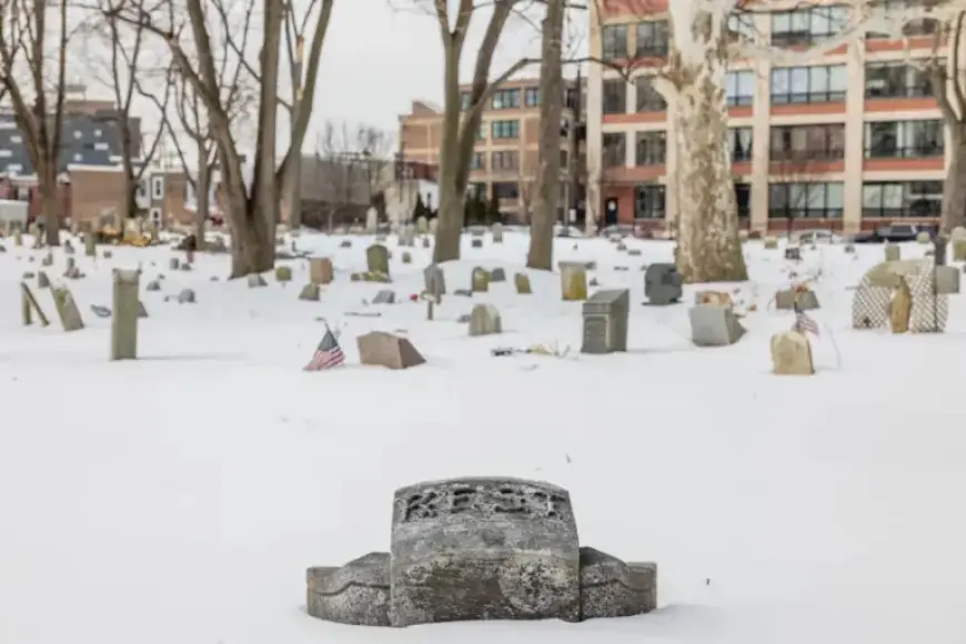
As for the snow currently blanketing the region, temperatures in Philadelphia are expected to rise into the mid-30s on Tuesday and the upper-30s on Wednesday. These warmer days should facilitate some snow melting.
Rain is also anticipated on Wednesday, which could further aid in the melting process. However, overnight lows will remain below freezing, meaning the melting will be limited to daylight hours. Any runoff could refreeze on roads and sidewalks, creating more hazardous conditions.
Uncertainty in Snow Removal
Although the forecast suggests gradual melting, predicting the complete disappearance of snow is challenging. Local meteorologist Guzzo pointed out that the rate of melting will depend on specific areas and the amount of snow remaining. Therefore, while there will be some progress by midweek, no definitive timeline can be established for total snow removal.


