


Scattered storms could break out late Sunday afternoon and into the evening across areas along and north of I-20, bringing the main risk of damaging winds up to 60 mph. The strongest cells are expected to form after a hot, humid start to the day, when some isolated showers had already passed through Sunday morning and temperatures were climbing into the mid and upper 80s before noon.
By Sunday afternoon, highs were expected to reach the lower 90s, with the heat index nearing 100 to 102 degrees. Westerly winds of 10 to 15 mph, with gusts up to 20 mph, were also forecast as the atmosphere primed for storms. The Storm Prediction Center placed northern Cullman, northern Blount, Etowah and Cherokee counties in a slight risk, or level 2 out of 5, while areas along and north of I-20 and I-22 were under a marginal risk.
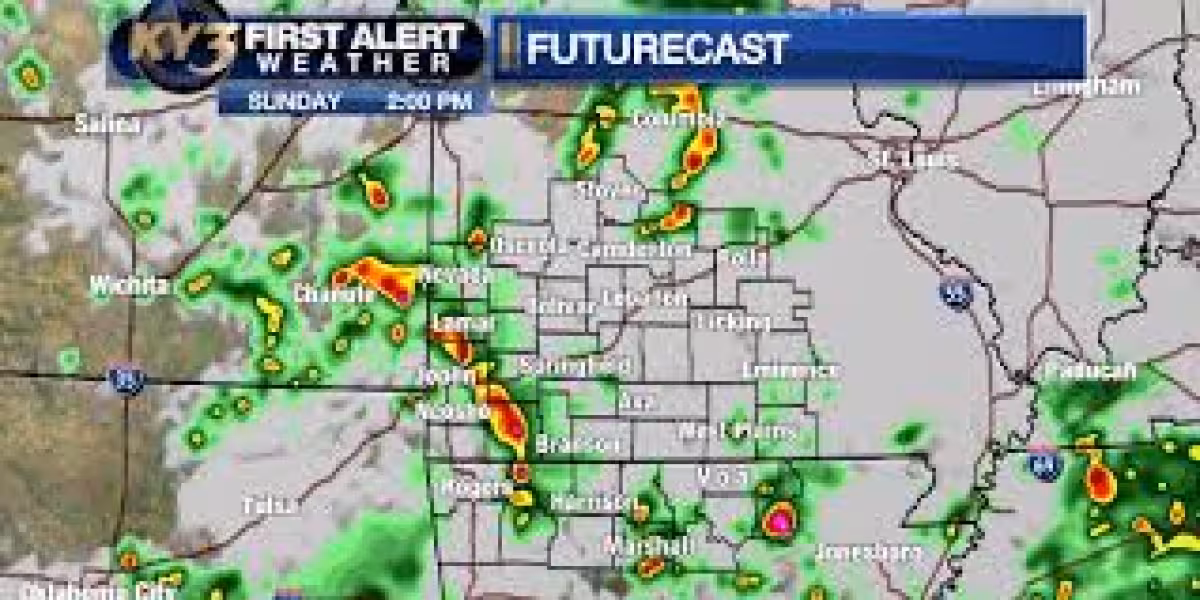
The setup is being driven by a cold front diving southeast into Alabama. Most weather models point to storms forming in northwest Alabama between 2 p.m. CDT and 7 p.m. CDT, then pushing southeast and weakening after sunset. Through the early afternoon, rain chances were still isolated, but the severe window opens later as the front provides enough lift for storms to build.


Along with damaging winds, forecasters said frequent lightning and heavy rain are part of the threat. That makes the late-day period the most important one to watch for anyone traveling or spending time outdoors north of I-20, where the storms are most likely to show up first and could briefly turn strong.
The storm threat does not end Sunday night. A cold front is expected to stall across Alabama Monday and Tuesday, with the boundary trending farther south. That means not everyone will see widespread rain early in the week, but the greatest chance for heavy rainfall and isolated flooding is expected south of I-20 from Monday evening through Tuesday afternoon. Rainy weather should come in waves from late Monday morning through Tuesday morning, with highs holding in the lower 80s.
Rainfall totals north of I-20 through Tuesday are expected to stay around a quarter of an inch to a half inch, while areas south of I-20 could pick up 1 to 2 inches. Rain is then expected to move into south Alabama Tuesday afternoon and evening. Another front approaches the Southeast on Thursday and Friday, and tropical moisture from a broad area of low pressure in the western Gulf could arrive at the same time, raising the chance for rounds of showers and storms and leaving flooding concerns on the table if the atmosphere remains this moist.
For Sunday, the main answer is straightforward: the stronger storm threat is later in the day, especially late afternoon and evening, and the biggest concern is damaging wind north of I-20. The unsettled pattern then shifts south early in the week before another wetter stretch tries to build in again late in the week.


