


Friday is shaping up as a First Alert Weather Day across the area, with dangerous heat, high humidity and the chance for severe storms all landing in the same afternoon and evening. Several hometowns could climb into the 90s, and it will feel close to or above 100 degrees in spots.
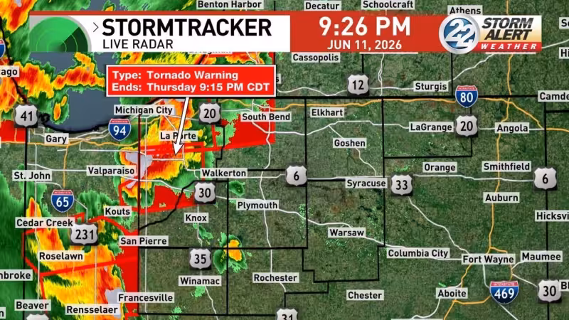
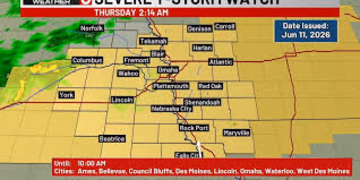
The Storm Prediction Center has placed a good portion of the area under a Slight Risk of severe weather, and coverage of storms is expected to be higher than Thursday. That raises the odds that at least some communities will see stronger storms during the day, even if the heaviest rain does not arrive everywhere.
The heat matters because the air will already be loaded with moisture before any storms fire. When that kind of setup comes together, it can turn an uncomfortable afternoon into a more volatile one in a hurry, with localized downpours and ponding water possible where storms do develop.
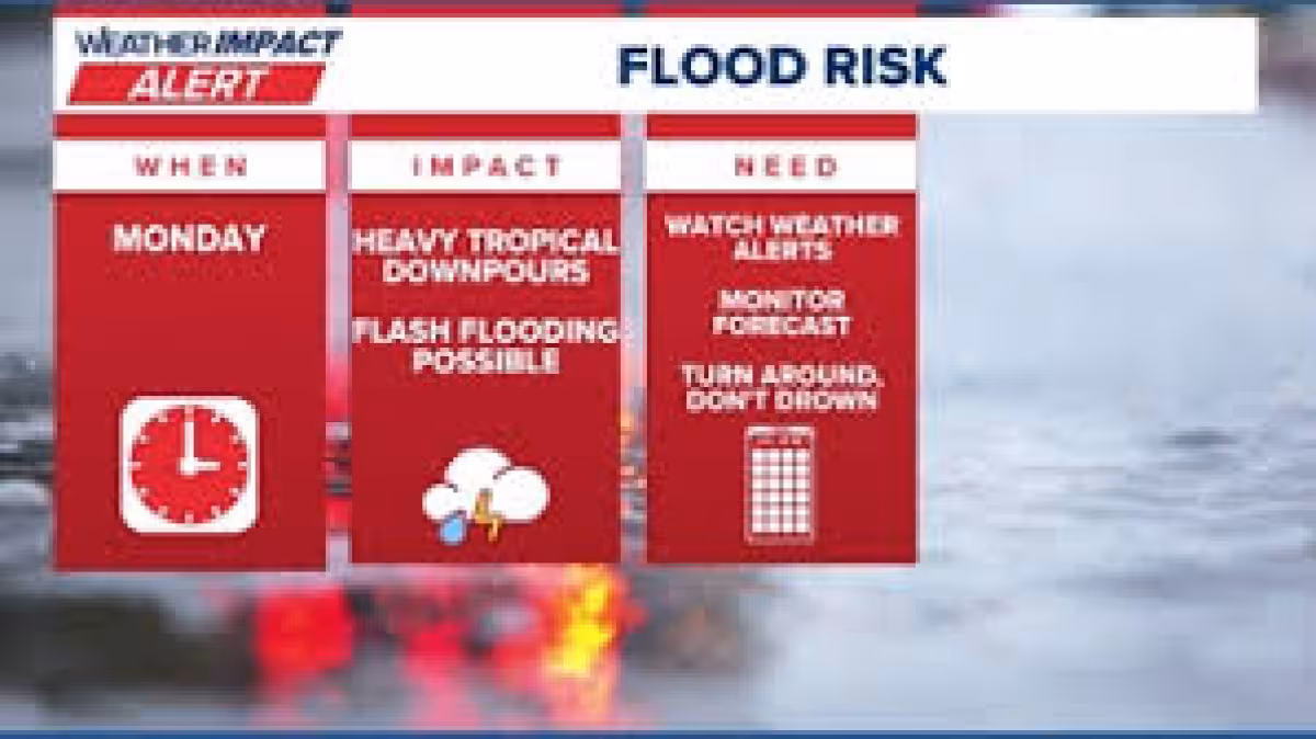

There is one catch that keeps the forecast from lining up neatly with the drought map. The area remains in severe and extreme drought, and those conditions have gotten a little worse this week, but most of the widespread soaking rain is expected to stay west through Friday. In other words, the region is hot, dry and in need of rain, yet the broadest rain shield is still likely to miss it.
That gap leaves the main question for Friday focused on placement rather than possibility: which hometowns get the storms, and which ones stay hot and mostly dry? Rain chances remain very limited for the foreseeable future outside of hit or miss thunderstorms, so any meaningful rain on Friday will likely be uneven and highly localized.
Conditions are expected to improve after the front pushes through. Quiet weather should return Saturday with low humidity, then spotty storms are possible again Sunday afternoon as the next round of unsettled weather brushes the area. For now, Friday is the day to watch, because it combines the area’s hottest air, a severe-weather risk and only patchy relief from rain.


