


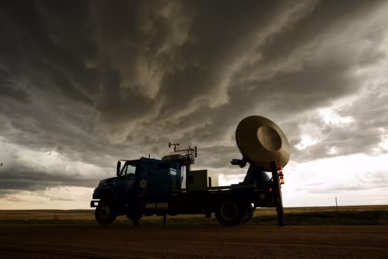
Wichita Falls became the first Texas city to get experimental tornado radar in 1959, giving forecasters a new way to study storms even though the system could not spot an approaching tornado. The National Weather Bureau had put the new Dopplers in Wichita, Kansas, a year earlier, making the two cities part of the earliest chapter in tornado radar history.
The technology was not a warning tool. It was built to measure wind speed more accurately during a tornado, which helped scientists study storms faster and with more detail than before. KSN-TV in Wichita, Kansas reported this week on those early Dopplers and noted that Wichita was also credited with inventing the tornado siren, another reminder of how much of the modern severe-weather playbook began in Kansas.
For Wichita Falls, the 1959 installation mattered because the city already sat inside a long tornado history. Weather.gov traces major tornadoes there back to 1888, and April 10, 1979 remains the best-known one because of the damage it caused. That history gave the early radar work local importance: the city was not just watching storms from afar, it was becoming a test site for technology meant to improve how tornadoes were studied.
The limitation was built into the machine. The Doppler system was experimental, and while it could help measure what happened inside a storm, it could not detect an incoming tornado. That gap is the story’s friction point and the reason the early system mattered more to researchers than to anyone hoping for an advance warning.
Today, the old experiment reads like a first step rather than a finished solution. Wichita Falls was first in Texas to get the technology, Wichita got it first overall in 1958, and the work helped push tornado science forward without solving the basic problem of warning people in time. The unresolved question is not whether the radar existed, but how much of its promise could ever be turned into protection.


