


Bay Area Faces Intense Heat After Two Days of Rain: Duration Unclear

After two days of light showers, high pressure will build over the Bay Area. Sun and warmer temperatures are expected to return this week.
The Bay Area will see intense heat after two days of rain, but the duration remains unclear. National Weather Service meteorologist Dylan Flynn said the ridge will be progressive.
Short-lived high pressure
Flynn told reporters the ridge will not linger for long. He said it likely will last only a few days before a trough returns.
March heat records and habitability
March produced record warmth across the region. Twelve of 13 climate sites posted their highest anomalies for any month on record.
All monitored locations recorded their warmest March ever. Average temperatures would have ranked as record Aprils as well.
Flynn noted human bodies were still adjusting. He said heat advisories use higher thresholds later in summer.
Near-term forecast and expected highs
The upcoming weekend should be milder than March’s extremes. South Bay spots may reach the 80s, as could parts of the interior East Bay.
Oakland and many Peninsula neighborhoods are forecast near 75 degrees by Saturday. San Francisco may climb to about 70 degrees.
Rain and snowfall totals
The recent rain was the first measurable precipitation since March 2. A system moving closer to the Central Coast delivered most showers.
- Mount Hamilton: about a half-inch.
- Ben Lomond and Mt. Umunhum: roughly one-third of an inch.
- Downtown Oakland: three-tenths of an inch.
- Concord: two-tenths of an inch.
- San Francisco International Airport: five-hundredths of an inch.
- San Jose Mineta Airport: 0.02 inches.
Wednesday’s light showers came from a spin-off cell of a Gulf of Alaska storm. Forecasters expected much of the remaining rain overnight.
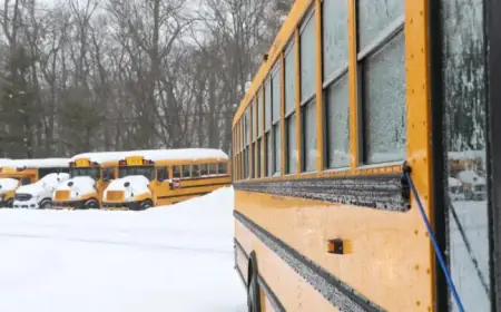
Sierra impacts and travel restrictions
Snow was forecast across the Sierra Nevada. Authorities expected six to twelve inches along the crest before Thursday.
Lower elevations near Lake Tahoe could see one to three inches. Lake Tahoe waves were predicted at three to six feet.
Wind gusts could reach 100 mph atop ridge lines. Lower elevations could experience gusts of 45 to 55 mph.
Caltrans screened eastbound traffic on Interstate 80 at Applegate in Placer County. Maximum chains were required there.
Westbound trucks were screened five miles west of Reno. Permit loads were prohibited in both directions.
State Highway 50 remained open without restrictions on Wednesday afternoon. The National Weather Service issued a winter weather advisory.
The advisory began at 5 a.m. Wednesday and was set to expire at 8 a.m. Thursday.
Reporting for Filmogaz.com.