


los angeles weather: Evacuation Warnings Issued for Burn Scar Areas as Powerful Storm Approaches
City and county officials issued evacuation warnings for neighborhoods near recent wildfire burn scars as a potent winter storm moves into the region. A flood watch stretches across a wide swath of the county from Monday morning through Monday evening (ET), with the National Weather Service highlighting the risk of intense rainfall rates, strong winds and localized severe weather.
What residents should expect
Forecasters are predicting heavy rain and thunderstorms capable of producing one-inch-per-hour rainfall rates in the most intense cells, along with the potential for small tornadoes and gusts up to 60 mph. Those conditions elevate the risk of flash flooding, rock and mudslides in steep terrain, and destructive debris flows on landscapes scorched by recent fires.
Officials emphasized that areas scarred by wildfire are particularly vulnerable. Burned slopes lose much of their vegetation and soil stability, which can allow rainfall to channel rapidly into dense, fast-moving flows of water, mud and rocks. Emergency managers urged residents in high-risk parcels to prepare now and be ready to evacuate immediately if an order is issued.
Preparation and response steps underway
City authorities said first responders, public works crews and emergency management personnel are mobilizing ahead of the storm to minimize impacts and support rapid response. Preparations include clearing storm drains where possible, positioning response teams in key locations, and coordinating resources to assist vulnerable populations.
The county has prioritized outreach to people experiencing homelessness and other at-risk groups, arranging temporary shelter options and motel placements where needed. Officials noted that social services and housing staff will actively engage in the highest-risk neighborhoods over the coming days to offer information and assistance.
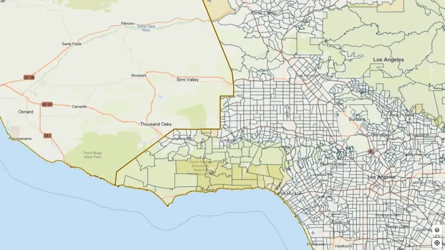
An interactive map of evacuation warnings and alerts is available from local emergency management officials to help residents determine whether their parcel is included in the advisory area. Authorities urged everyone in affected neighborhoods to follow official guidance, avoid unnecessary travel during heavy downpours, and keep vehicles off roads prone to flooding.
Safety tips and what to do now
Residents in threatened areas should prepare an emergency kit, identify multiple evacuation routes, and secure important documents and valuables in a waterproof container. If you live below or adjacent to steep slopes or in a canyon, pack essential items in your car and consider pre-emptive relocation to safer ground. Avoid walking or driving through floodwaters—just six inches of moving water can knock an adult down and one foot can sweep a vehicle away.
Drivers should allow extra travel time, reduce speed, and be alert for debris on roadways after storms pass. Keep cell phones charged, monitor battery-operated radios if power is lost, and watch for local emergency alerts from city and county channels. If an evacuation order is issued, leave immediately and follow the directions of emergency personnel.
City and county leaders reiterated that this may be a significant rain event and urged residents—especially those in burn scar areas—to stay informed and take precautions through Monday evening (ET) and into Tuesday morning when some evacuation warnings remain in effect through 9 a. m. Tuesday (ET). Emergency responders will continue to assess conditions and issue updates as the storm progresses.