Winter storm prompts evacuation warnings for burn-scar areas as weather los angeles turns severe

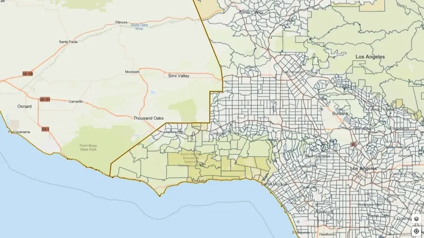
Los Angeles officials issued evacuation warnings for neighborhoods near recent wildfire burn scars as a powerful winter storm moves through the region, bringing heavy rain, thunderstorms and the potential for debris flows. A flood watch covers much of the county from Monday morning through Monday evening ET, and residents in vulnerable areas were urged to prepare now for rapidly changing conditions.
Who is under evacuation warning and what to expect
Evacuation warnings are in effect for select parcels adjacent to areas burned in recent wildfires and remain active through 9 a. m. ET Tuesday. Officials cautioned that burn-scar slopes are especially susceptible to rock and mud slides, and debris flows can develop with little notice when intense rainfall hits denuded terrain. The National Weather Service highlighted the storm’s potential for brief but severe conditions, including heavy downpours at rates near one inch per hour, damaging winds up to 60 mph, and the possibility of small tornadoes embedded in thunderstorms.
Residents in or near evacuation warning zones should be prepared to leave on short notice if an evacuation order is issued. Local emergency managers are prioritizing outreach to vulnerable populations, including people experiencing homelessness, and authorities have mobilized shelter options and motel placements where needed to reduce exposure for high-risk residents.
City and county preparations, and safety guidance
City and county public works crews, first responders and emergency management teams have been activated to respond to storm impacts. Officials emphasized pre-storm tasks such as clearing storm drains, positioning response assets in high-risk corridors and coordinating evacuation outreach. The mayor urged Angelenos to plan ahead, exercise caution on wet roads and follow official instructions if conditions worsen.
Drivers should expect hazardous travel during heavy showers and thunderstorms. Flooded roadways, reduced visibility and sudden debris on slopes are primary concerns. Motorists are advised not to attempt driving through standing or flowing water and to allow extra travel time. The risk of localized power outages rises with high winds and falling debris; households should be ready with flashlights, battery power and a plan for those who rely on electrically powered medical devices.
How residents can prepare now
Emergency officials recommend several immediate steps: assemble an emergency kit with essentials for at least 72 hours, create a family evacuation plan that identifies multiple routes and a meeting point, secure loose outdoor items that can become projectiles in high winds, and monitor local emergency alerts the city’s official notification system. Those living below or adjacent to steep slopes should move vehicles to higher ground and consider temporarily relocating to safer areas if they are in a warning zone.
Stay tuned to local radio and official channels for evacuation orders or changes in threat level. Community leaders stressed that early preparation and swift action can significantly reduce risk during rapid-onset events like debris flows and flash flooding.
Emergency operations will continue through the storm period and responders are standing by to assist. Residents are encouraged to remain alert, avoid nonessential travel in heavy weather, and prioritize safety if conditions deteriorate quickly.


