los angeles weather: Evacuation Warnings Issued for Wildfire Burn Scars Ahead of Powerful Winter Storm
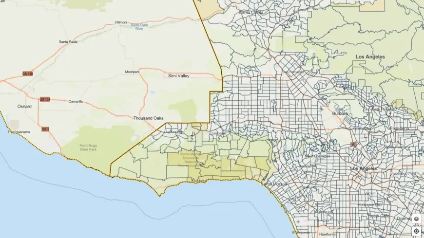
Los Angeles officials issued evacuation warnings for neighborhoods located on recent wildfire burn scars as a powerful winter storm moves into the region. A flood watch is in effect for a wide swath of the county from Monday morning through Monday evening (ET), and residents in vulnerable terrain are being urged to take immediate precautions.
Evacuation warnings and at‑risk areas
Evacuation warnings cover select parcels near slopes and canyons that were burned in recent wildfires. Authorities advised residents in those zones to prepare to leave on short notice and to keep emergency supplies and important documents accessible. Warnings for some areas remain active through 9 a. m. Tuesday (ET), and officials stressed that an evacuation warning is a signal to finalize plans, not a request to shelter in place.
Local emergency managers and first responders have been mobilized ahead of the storm. Public works crews are staging equipment to respond to blocked roadways and to clear drains, while outreach teams are focusing on high‑risk neighborhoods. Additional measures include coordination to provide motel placements and augmented sheltering for people experiencing homelessness in affected areas, with active engagement planned throughout the weekend and into the storm period.
Anticipated hazards and storm timeline
The National Weather Service warned that the system could produce severe conditions across parts of the county. Anticipated hazards include heavy rainfall with rates up to one inch per hour, damaging winds reaching about 60 mph, and the possibility of small tornadoes embedded in stronger thunderstorms. On steep terrain, rock and mud slides are possible, and previously burned slopes face an elevated risk of fast‑moving debris flows.
Forecasters expect the most widespread impacts from Monday morning through Monday evening (ET), with residual runoff and localized flooding continuing into Tuesday morning for some foothill and canyon neighborhoods. Motorists are urged to exercise extreme caution on slick roads and to avoid driving through standing water; debris and fallen trees could render some routes impassable.
How residents should prepare and where to find alerts
Officials recommend that residents in burn scar and canyon areas review evacuation routes and establish a meeting point for family members. Pack a go bag with essentials — medications, water, flashlights, chargers, and important documents — and keep vehicles fueled. People who rely on mobility assistance or medical devices should notify local emergency services of their needs in advance when possible.
Emergency managers emphasize keeping phones charged and enabling wireless emergency alerts. Neighbors are encouraged to check on elderly or disabled residents who may need help preparing to evacuate. For those seeking temporary shelter options, outreach teams will be actively connecting individuals to available resources during the storm period.
With conditions expected to change rapidly, residents should monitor official local emergency channels and heed any evacuation orders that may be issued. Preparing now — before heavy rain begins — is the most effective step households can take to reduce risk and speed evacuation if necessary.
Filmogaz will continue to follow developments and provide updates as the storm progresses and as officials issue additional guidance for affected communities.


