


los angeles weather: Evacuation warnings issued for burn-scar areas as powerful winter storm approaches
City and county officials have issued evacuation warnings for select parcels near recent wildfire burn scars as a strong winter storm moves into the region. A flood watch covers a wide swath of Los Angeles County from Monday morning through Monday evening, and authorities are urging heightened vigilance in vulnerable neighborhoods.
Evacuation warnings and emergency measures
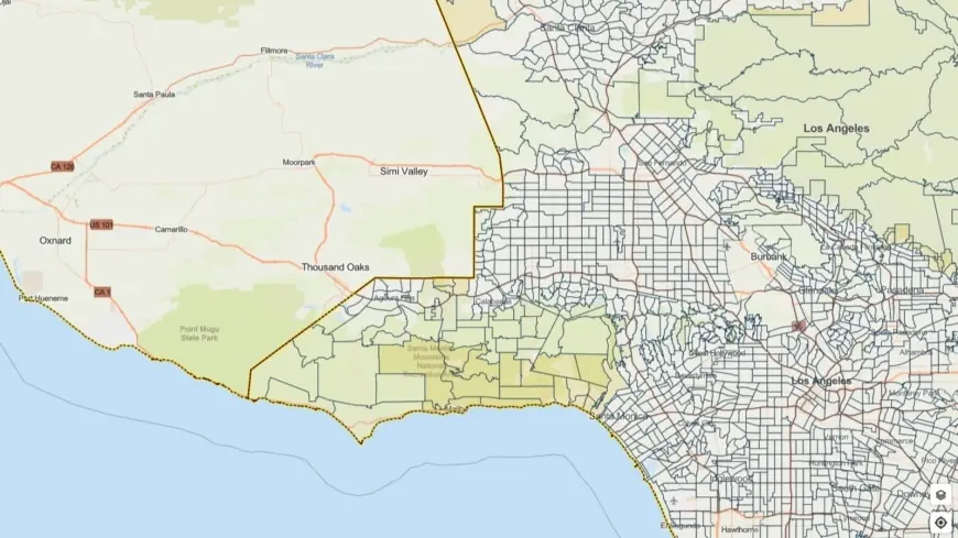
Officials have placed evacuation warnings on neighborhoods located on or below recent burn scars, citing the elevated risk of debris flows, rock and mudslides when heavy rain hits denuded slopes. Evacuation warnings remain in effect through 9 a. m. ET on Tuesday for the areas named by local emergency managers. Residents in those zones are urged to prepare to leave immediately if an evacuation order is issued.
City personnel, first responders, and public works crews are staging resources and pre-positioning to respond rapidly to flooding and landslide incidents. The mayor emphasized the need for Angelenos to plan ahead, avoid unnecessary travel in hazardous conditions, and follow official emergency guidance. County leadership notes outreach to vulnerable populations is underway, including coordination of temporary shelter options and motel vouchers to assist people experiencing homelessness in high-risk locations.
Storm impacts: what residents should expect
The National Weather Service has warned that the system could produce heavy rain and thunderstorms capable of producing rapid one-inch-per-hour rainfall rates, localized 60 mph wind gusts, and embedded small tornadoes. Those elements combine to elevate the threat of flash flooding, fallen trees, and power outages across the region.
Burn-scar areas are at particular risk for fast-moving debris flows that can occur with little warning. Slopes stripped of vegetation by wildfire can release a slurry of mud, rocks and woody debris that travels down channels and onto roads and neighborhoods. Residents who live near steep terrain or below recently burned hillsides should identify multiple evacuation routes, prepare an emergency kit, and consider moving vehicles to higher ground.
Travel will likely be hazardous during the peak of the storm: standing water, limited visibility during heavy downpours, and debris on roadways are expected to slow traffic and complicate emergency response. Motorists are advised to avoid driving through flooded roadways and to allow extra time for commutes if travel is unavoidable.
How to stay informed and prepare
Officials are urging residents to stay tuned to local emergency alerts and community notifications for evolving evacuation orders and road closures. Simple preparedness steps can reduce risk: secure loose outdoor items, move vehicles off streets prone to flooding, assemble a grab-and-go bag with medications and important documents, and have a plan for family members and pets.
Public safety teams and social services are focusing outreach on those most at risk, offering information on sheltering options and transportation assistance where needed. Individuals with mobility challenges or who require additional assistance should contact local emergency management channels to request help ahead of the storm.
With heavy precipitation expected across the county from Monday into early Tuesday ET, emergency managers stress that now is the time to take precautions. Residents in affected areas should monitor official communications, heed evacuation warnings, and be prepared to act quickly if conditions deteriorate.