


Blizzard warning and blowing-snow advisory hit southern Ontario as bus cancellations loom
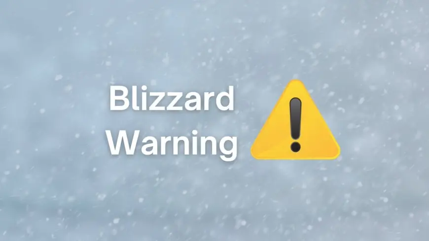
Southern Ontario is under a volatile mix of intense wind, blowing snow, and plunging temperatures as a fast-moving burst of lake-effect snow and arctic air drives hazardous travel conditions into Saturday morning. The most serious alert in the region is an orange blizzard warning north and northwest of London near the Lake Huron shoreline, while areas farther south and east—including Waterloo Region—are under a yellow blowing-snow advisory alongside a yellow cold warning.
The result is a familiar winter squeeze: whiteout risks on exposed rural roads, drifting snow that can re-cover cleared lanes, and morning decisions on school transportation that can change quickly as visibility swings.
Orange blizzard warning: where conditions are worst
The orange blizzard warning focuses on communities near the Lake Huron shore and into areas northwest of London, where gusts up to about 80 km/h and visibility frequently near zero are expected in snow and blowing snow through Saturday morning. Localized snow-squall totals in the hardest-hit corridor are expected to reach 15 to 20 cm, with the warning emphasizing that travel may become dangerous or even impossible at times.
Even places not squarely in the blizzard core—such as London itself—can still see sharp visibility drops as wind funnels across open areas, pushing powder snow across roadways.
Yellow advisory: blowing snow spreads into the commute belt
For the Kitchener–Cambridge–Waterloo area, a yellow blowing-snow advisory is in effect as strong northwest winds continue to whip up loose snow overnight. The advisory highlights reduced visibility and warns that conditions can briefly approach near-zero visibility in wind-prone areas, especially on open stretches of highway and rural concessions.
At the same time, a yellow cold warning covers the region, with wind chills around minus 30 to minus 35 expected tonight into Saturday morning, and the possibility of a repeat late Saturday into Sunday morning.
Quick look: current alert levels in key areas
| Area | Alert level | Main risk window (ET) |
|---|---|---|
| Lake Huron shore / northwest of London | Orange blizzard warning | Overnight Fri into Sat morning |
| Kitchener–Cambridge–Waterloo | Yellow blowing-snow advisory | Fri evening into Sat morning |
| Kitchener–Cambridge–Waterloo | Yellow cold warning | Fri night into Sat morning (possible return Sat night) |
| London region (outside blizzard core) | Reduced visibility risk | Overnight Fri into Sat |
School bus cancellations: what typically triggers them and when updates drop
When blowing snow becomes widespread, transportation consortia often make decisions early—typically targeting around 6:00 a.m. ET for announcements—because visibility and drifting can make rural routes unsafe even if schools remain open. The biggest triggers are:
-
Near-zero visibility on exposed roads
-
Rapid drifting that blocks secondary routes
-
Wind chills that create safety risks if a bus stalls or a student waits outside
In this type of setup, it’s common to see cancellations concentrated in the hardest-hit rural zones first, with more urban routes sometimes operating if conditions allow. Families should expect staggered updates by region, especially from boards spanning multiple counties.
Toronto snow: less about totals, more about wind and cold
In Toronto, the bigger story overnight is not blockbuster snowfall totals—it’s the combination of lighter accumulations with bitter cold and gusty winds that can still create slick patches and sudden visibility drops. Forecast guidance points to light snow or flurries Friday followed by a rapid plunge into single-digit highs on Saturday, with very cold conditions lingering into Sunday.
That pattern can still disrupt travel: even modest snow can refreeze quickly as temperatures fall, and wind can move snow into drifts on ramps, bridges, and lake-adjacent roadways.
What to watch through Saturday morning
This event will be defined by quick swings: a stretch of decent visibility can collapse in minutes if a squall line crosses or winds intensify. The most useful signals to monitor are:
-
Visibility reports on exposed roads (especially rural corridors and lakeshore routes)
-
Wind gust trends overnight (stronger gusts mean more drifting)
-
Morning transportation decisions by school bus operators
-
Whether the blizzard warning area expands farther inland
If travel is unavoidable, the safest assumption is that conditions will vary block by block. Build extra time, keep a winter kit in the vehicle, and consider postponing non-essential trips until the winds ease and visibility stabilizes.
Sources consulted: Environment Canada, City of Toronto, CTV News, The Weather Network