Atlanta Weather Forecast: Sunshine Now, Then Rain and a Wintry Mix Risk This Weekend

Atlanta is starting out clear and very cold, with a bright stretch of daytime weather before clouds, showers, and a possible wintry mix arrive later in the week. The headline: chilly sunshine today, milder midweek, then a wetter pattern with the highest travel-impact potential Saturday into early Sunday.
Current Snapshot in Atlanta
Clear skies are keeping temperatures down near the freezing mark early on. If you’re heading out this morning or late tonight, plan for a hard chill and watch for isolated slick spots on bridges and overpasses if any moisture is present.
Day-by-Day Atlanta Outlook (Next 7 Days)
Here’s the week at a glance, focusing on what changes and when:
| Day | High | Low | What to expect |
|---|---|---|---|
| Tue (Jan 20) | 44°F | 27°F | Plenty of sunshine, but chilly |
| Wed (Jan 21) | 53°F | 41°F | Partly sunny, warmer |
| Thu (Jan 22) | 50°F | 44°F | Partly sunny with a few showers possible |
| Fri (Jan 23) | 54°F | 39°F | Cloudy with a shower |
| Sat (Jan 24) | 43°F | 29°F | Rain at times, some sleet mixing in |
| Sun (Jan 25) | 35°F | 27°F | Snow/sleet risk early, then cloudy and cold |
| Mon (Jan 26) | 45°F | 26°F | Sunnier and a bit less cold |
Forecast details can shift, especially around the weekend system, so it’s smart to check for updates if you have travel plans.
Atlanta’s Midweek Warm-Up: Better Afternoons, Still Cool Nights
After today’s colder sunshine, Wednesday brings a noticeable bump in afternoon temperatures into the low 50s. Nights remain cool, though, so mornings will still feel brisk. Thursday and Friday lean cloudier, and the shower chances increase, which can make it feel cooler than the thermometer suggests.
What this means day-to-day:
-
Best outdoor window: Tuesday and Wednesday afternoons
-
Keep a light jacket handy midweek: evenings cool off quickly
Weekend Watch: Rain Turning to Sleet/Snow Potential
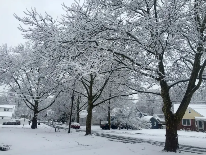
The most important part of the forecast is Saturday into early Sunday. Temperatures drop back into the 40s Saturday with lows near freezing overnight, creating an environment where rain may mix with sleet, and some snow/sleet is possible early Sunday before conditions settle into a cold, mostly cloudy day.
Practical impacts to plan for:
-
Roads: The main concern is elevated surfaces (bridges, ramps) late Saturday night into early Sunday if temperatures hover near freezing.
-
Travel timing: If you can, aim errands and longer drives for earlier Saturday rather than late night or early Sunday.
-
Gear: Waterproof outer layer Saturday; add gloves/hat Sunday morning if you’re out early.
What to Wear and How to Prep in Atlanta This Week
A simple plan that matches the temperature swings:
-
Today: heavy jacket for morning/evening, lighter layer in afternoon sun
-
Wednesday–Friday: layers (light jacket + long sleeves), umbrella on standby Thu/Fri
-
Saturday–Sunday: rain gear plus warm layers; keep an eye on any wintry mix alerts if you’ll be driving early Sunday
If you tell me what part of the day you’ll be out (morning commute, midday, late night) and whether you’re driving or walking, I can tailor the clothing and timing recommendations more tightly.


