


Satellite imagery released early Tuesday by geospatial intelligence firm Soar appears to show that a hangar at Ramat David Airforce Base, near Migdal HaEmek in northern Israel, may have been struck during the recent escalation between Israel and Iran.
The images, first posted on X by account @tom_bike and later published by Soar Atlas, were compared with satellite photos taken on June 5 and reveal a visible change at the site of a hangar. The newer frames show a distinct white patch and a marking in the area where the structure previously stood.
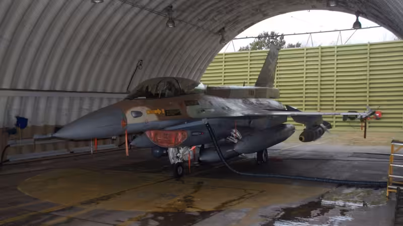
Ramat David Airforce Base is one of Israel’s principal military aviation facilities and normally hosts five Israeli Air Force squadrons operating F‑16 fighter jets and unmanned aerial vehicles. Any damage to a hangar there would touch that concentration of aircraft and support equipment, making the new imagery immediately consequential.
Soar’s release came with the authorization of Israel’s military censorship authorities. The Israel Defense Forces declined to comment on the findings when approached about the images and the changes they appear to show.
The comparison point for the Soar images is a June 5 satellite photograph. Analysts who reviewed both sets say the most striking visible sign in the later frames is the pale patch and a discrete marking where a roof or structure had been visible on June 5 imagery.

Last month, separate satellite pictures circulated by open-source observers appeared to show evidence of two separate strikes at different areas of Ramat David during Operation Roaring Lion, making the base a repeated focal point in recent exchanges.
That pattern is the immediate weight behind the disclosure: the base houses multiple squadrons, it has been targeted in earlier imagery, and the new frames show a clear change at a specific hangar site. Taken together, those facts make the Soar photos a notable development in the latest Israel–Iran tensions.
But the available photos are relatively low resolution, and that limits what can be said with certainty. The imagery suggests possible strike damage; it does not allow independent verification of blast patterns, interior destruction, or the identity of any assets that might have been inside the hangar at the time.
The most consequential unknown is operational: the nature of any equipment or aircraft that were inside the hangar remains unclear. Without higher-resolution images, on-the-ground reporting, or military confirmation, analysts cannot determine whether the apparent strike — if that is what it was — affected aircraft, support vehicles, munitions, or merely external structures.
For now, the practical next steps are clear. The IDF could choose to confirm or deny the report; satellite companies or open-source groups may release clearer imagery; and military monitors will watch for any follow-up strikes or reported losses that would indicate material damage. The single most consequential unanswered question is stark and immediate: what, if anything, inside the hangar was damaged, and how much of the base’s operational capacity — if any — was lost as a result?


