


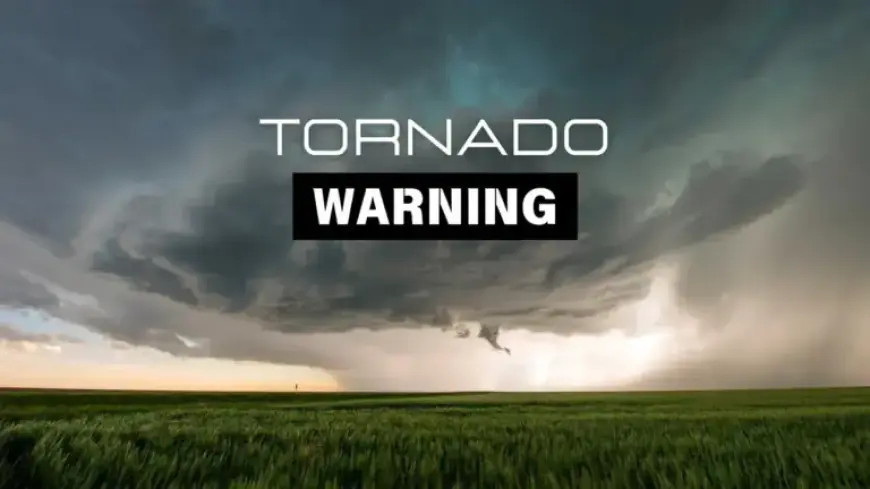
Milwaukee, Ozaukee, Washington Counties Brace for Tornado Warning
A rare February tornado carved a path of destruction near Evansville, Wisconsin. On Tuesday, April 14, the National Weather Service in Milwaukee-Sullivan issued a tornado warning. The warning expired at 2:15 a.m. in Milwaukee, Washington and Ozaukee counties.
Milwaukee, Ozaukee, Washington Counties Brace for Tornado Warning as part of a broader set of alerts. Severe thunderstorm warnings covered Ozaukee, Milwaukee, Walworth, Racine, and Waukesha counties. Those warnings also expired at 2:15 a.m.
Warnings, watches and outages
The NWS left a Severe Thunderstorm Watch in effect for southeastern Wisconsin until 4 a.m. We Energies reported outages during the early morning hours. About 57,000 customers were without power at 2:15 a.m.
Radar observations and storm motion
At 2:03 a.m. CDT, radar showed severe thunderstorms along a line. The line extended from 16 miles east of Oostburg to near Union Grove.
The line moved east at about 50 mph. Radar indicated 60 mph wind gusts and rotation in spots.
Communities listed as impacted
The NWS warned of potential damage to roofs, siding and trees. Mobile homes faced a high risk of destruction and flying debris was likely.
- Milwaukee
- Racine
- Greenfield
- Oak Creek
- Mount Pleasant
- South Milwaukee
- Cudahy
- Greendale
- Elkhorn
- St. Francis
- Sturtevant
- Union Grove
- East Troy
- Franklin
- Wind Lake
- Rochester
- Raymond
- Yorkville
- Wind Point
- Browns Lake
Earlier timing for other areas
The NWS noted tornadic storms could be near Eastern Madison and Sun Prairie around 12:30 a.m. CDT. Windsor, Deforest, Cottage Grove, and Maple Bluff were listed for the same time.
Columbus and Marshall were expected around 12:35 a.m. Other named locations included Morrisonville, Deansville, Token Creek, and East Bristol.
Safety guidance from the NWS
The agency advised residents to seek the lowest possible shelter. A basement or lowest floor and interior room provide the best protection.
Avoid windows and put as many walls between you and the outside as possible. If you spot a tornado, go to a small central room immediately.
If you are driving
Do not try to outrun a tornado on highways or interstates. Seek refuge in a sturdy building when possible.
As a last resort, lie flat in a nearby depression, ditch or culvert. Cover your head with your arms.
Watch versus warning
A tornado warning means a tornado is sighted or indicated on radar. Take cover immediately in a sturdy building’s lowest floor.
A tornado watch means conditions could produce tornadoes. Have a plan and be ready to act quickly if a warning is issued.
This report was compiled from National Weather Service information. The story was updated and reviewed by an editor at Filmogaz.com. Check the NWS for the latest alerts and forecasts.