


South Australia and Victoria Face Historic Deluge; North Prepares for Triple Cyclone Threat
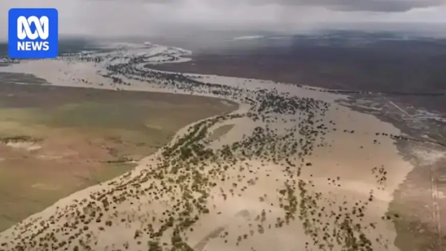
Australia’s southern regions, particularly South Australia (SA) and Victoria, are bracing for a significant weather event as a low-pressure system brings heavy rainfall. This deluge poses a heightened risk of dangerous flash flooding, especially in populated areas from the Eyre Peninsula through Adelaide and extending to western Victoria and the Murray River.
Forecast for South Australia
A tropical low is expected to cross the Northern Territory-South Australia border this weekend. Rainfall from this system has already impacted arid desert areas, with Ceduna radar reporting heavy precipitation inland from the coast. The low is set to track across inland SA, reaching Port Augusta by Sunday night, and the heaviest rain is anticipated to sweep from the North West Pastoral and West Coast districts down to far western Victoria.
Expected Rainfall Totals
- 50 to 100 mm of rain is expected across much of SA this weekend.
- Adelaide may experience over 50 mm, leading to a potential flood watch.
- Some locations could receive up to 200 mm, which is exceptionally rare for SA.
For context, if Lameroo accumulates 100 mm, it would mark the heaviest rainfall since 1974. In Adelaide, surpassing 46 mm in a 24-hour period would represent the city’s highest rainfall in over a decade, while 75 mm would set a 57-year record.
Victoria and New South Wales Prepare for Rain
The modeling indicates that the system will impact western Victoria and parts of southern New South Wales (NSW) beginning on Sunday. Forecasts suggest rain of 50 to 100 mm for these regions, with the possibility of embedded thunderstorms causing increased flash and river flooding risks.
Rainfall totals in Victoria could challenge existing records, especially in its western parts, where 200 mm is a possibility. Meanwhile, southern NSW may see similar totals of 50 to 100 mm, particularly in the Lower Western and Riverina areas.
Impact on Drought Conditions
While this precipitation offers relief for many in southern SA and Victoria, significant follow-up rainfall is necessary to declare an end to the ongoing drought. Many regions have experienced rainfall deficits of around 300 mm over the past 24 months.
Northern Australia Faces Tropical Threats
As southern regions prepare for heavy rainfall, Northern Australia is closely monitoring a series of tropical systems. A monsoon is returning, with expectations for several tropical lows to develop in Australian waters.
The primary concern is a weak tropical low named 29U, situated about 1,000 kilometers east of Cairns. This system is predicted to remain stagnant initially, but might track towards the Queensland coast later.
Potential for Cyclone Development
- Forecast models suggest one or two additional tropical lows could form near Western Australia’s north coast and the Gulf of Carpentaria.
- Cyclone development remains unpredictable, and forecasters stress caution in predicting landfall.
As these developments unfold, a significant surge of monsoon rain is anticipated in early March for northern regions of Queensland. Weather patterns and potential cyclones will continue to be monitored closely.
For ongoing updates and coverage, stay tuned to Filmogaz.com.