


fox 8 news: First Alert — Much-needed showers continue into the weekend
A slow-moving frontal system will keep chances for light to moderate rain in the forecast from Thursday into Friday, bringing a welcome soaking for dry ground. Temperatures will remain mild overnight but will trend cooler through the weekend, with mountain areas possibly seeing a wet snow mix as colder air moves in. All times referenced are Eastern Time (ET).
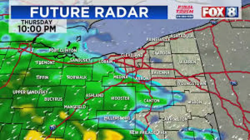
Tonight into Thursday: Mild nights, mostly dry until afternoon
Overnight temperatures will stay relatively mild, with lows settling into the 40s and 50s across most of the region. That warm overnight air will prevent any freezing precipitation tonight. A few lingering raindrops could occur in isolated spots this evening, but the majority of the area will see dry conditions through the overnight period.
Clouds will increase through Thursday morning ahead of an approaching frontal boundary. Expect showers to develop by the afternoon as the front begins to push through. Rain coverage will be greatest along and ahead of the front, while some inland locations may remain dry until later in the day.
Thursday night into Friday morning: Front brings more widespread showers, cooling follows
The frontal passage Thursday into Friday will spark periods of steadier rain for many communities. The steadiest precipitation is most likely late Thursday into early Friday morning, with the heaviest pockets producing brief moderate rainfall rates. For most areas, rainfall amounts look to be light to moderate overall, enough to ease dryness but not expected to create widespread flooding issues.
Behind the front, temperatures will begin to drop. Expect highs to fall gradually through Friday and into the weekend as colder air filters in. By Sunday, daytime highs are forecast to be in the 40s for many locations, a noticeable cool-down compared with midweek readings.
Weekend outlook: Second moisture surge, mountain snow potential, and forecast uncertainty
Another impulse of moisture is likely to move into the region this weekend. Details on timing and placement remain uncertain at this stage; small shifts in the track or timing of the system could change who sees the heaviest rain and where colder air wraps in.
At present, the most likely scenario is scattered rain showers for lower elevations, with higher terrain seeing a rain-snow mix at times. Mountain summits and higher valleys could pick up wet snow or a brief period of snow mixing with rain, especially during the coldest hours. Lowland areas should remain above freezing, but temperatures will be much cooler than earlier in the week.
Travelers and outdoor plans for late Saturday into Sunday should be flexible. Wet roads and reduced visibility are the main near-term impacts in lower elevations. In the mountains, even a light wet-snow coating could create slick conditions on rural roads and passes.
What to watch and how to prepare
Check timing for the heaviest bands of rain if you have outdoor plans late Thursday into Friday morning. Keep an umbrella and a light jacket handy for the weekend as temperatures trend down. Drivers should allow extra time for travel in wet conditions, and mountain travelers should carry chains or check route restrictions if snow becomes more likely.
Forecast confidence is fair for the overall progression—showers Thursday into Friday and a cooler weekend—but lower for the exact precipitation type and placement in the mountains. Expect updates as models refine the track and timing of the weekend system.
We will continue to monitor the situation and provide updated briefings as the weekend approaches.