


weather los angeles: Evacuation warnings issued as powerful winter storm approaches
A fast-moving winter storm is set to drench the region, prompting evacuation warnings for neighborhoods near recent wildfire burn scars and a countywide flood watch from Monday morning through Monday evening ET. Officials are urging residents in vulnerable areas to prepare now for heavy rain, strong winds and possible debris flows.
Storm timeline and hazards
Forecast models show the system moving through the region beginning early Monday, with the heaviest precipitation expected between Monday morning and Monday evening ET. Forecasters have highlighted several threats tied to the storm: intense rainfall rates that could reach roughly one inch per hour, damaging wind gusts up to about 60 mph in exposed locations, isolated thunderstorms and even the potential for brief, small tornadoes.
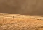
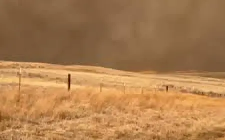
Areas that burned in recent wildfires are at heightened risk. Thin soils and destabilized slopes make rock and mud slides more likely near steep terrain, while debris flows — fast-moving mixtures of water, mud, rock and vegetation — can originate on burn scars and travel quickly into downstream neighborhoods. Low-lying corridors, canyon roads and recently scarred hillsides will be especially vulnerable during periods of heavy rain.
Local preparations and evacuation guidance
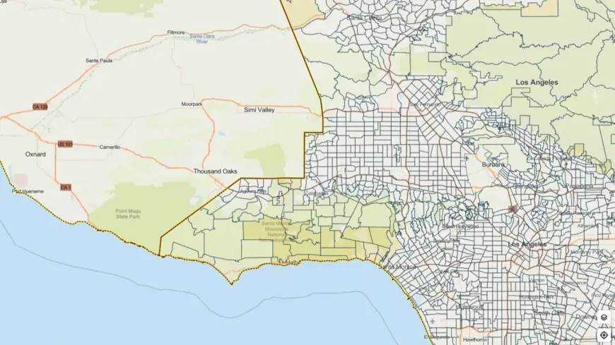
City and county emergency teams have issued evacuation warnings for select parcels adjacent to burn scars, with those warnings in effect through 9 a. m. Tuesday ET for some locations. Emergency managers have activated response plans: public works crews are staging equipment, first responders are pre-positioning teams, and outreach efforts are focusing on residents in high-risk zones.
Authorities emphasized that an evacuation warning is not yet an order to leave but a prompt to get ready to move quickly if conditions worsen. Residents in warned areas should identify multiple evacuation routes, assemble an emergency kit, secure outdoor items that could be swept away, and be prepared to assist neighbors who may need help evacuating. Those who live along washes and arroyos should avoid crossing low-water bridges; even shallow moving water can sweep vehicles off the road.
What Angelenos should do now
Residents across the county should take a few practical steps before the storm arrives. First, compile essentials: medications, important documents in a waterproof container, flashlights, batteries, a portable phone charger, water and nonperishable food for at least 72 hours. Make sure vehicles have fuel and tires are in good condition.
Plan evacuation logistics in advance: know where you will go, how you will get there, and whom you will contact. Move cars out of low-lying areas that flood easily and clear gutters and storm drains where safe to do so. If you live near a burn scar, consider relocating to a safer place before heavy rains begin rather than waiting for an evacuation order.
During the storm, avoid driving through flooded roadways. If you encounter standing or flowing water, turn around and find an alternate route. Stay away from downed power lines and report any emergencies to local response authorities. Keep battery-powered radios or alert apps on to receive real-time emergency information, and follow official guidance should evacuation orders be issued.
This system has the potential to produce significant impacts across the region. Residents are encouraged to monitor local emergency alerts and be ready to act quickly if conditions deteriorate.