


Connecticut school closings and snow totals: how many inches fell, last 24 hours accumulation, and the CT weather forecast after Sunday morning’s storm (ET)
Connecticut is still digging out on Tuesday, January 27, 2026 (ET), after a long-duration winter storm that began Sunday morning and left a widespread swath of plowable snow—followed by a sharp freeze that’s slowing cleanup and raising the risk of slick spots.
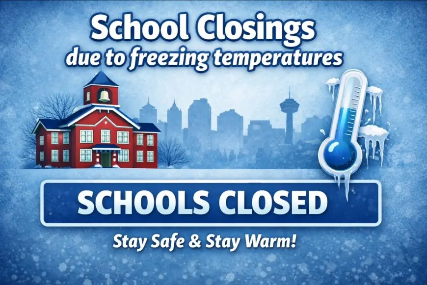
School closings CT: why some districts are still closed or delayed Tuesday
For many communities, the decision isn’t just about what fell on Sunday—it’s about what’s happening now: hard-packed snowbanks, narrowed side streets, parking bans that limit where plows can push snow, and sidewalks that haven’t had time to be cleared safely for buses and walkers.
A number of districts announced full closures Tuesday, with others opting for delayed openings. Among the larger closures and notable systems reporting impacts: Hartford, Manchester, New Britain, Bristol, East Hartford, Middletown, Waterbury, West Haven, Stratford, Vernon, Waterford, and multiple districts in eastern Connecticut; some shoreline-area districts reported delays.
What’s driving the “closed again” calls:
-
Access and safety around buildings: entrances, drop-off loops, and emergency lanes.
-
Sidewalk clearance: especially where snow is now heavy, crusted, and harder to move.
-
Refreeze: melting during daylight and re-icing after sunset, even if skies clear.
-
Staffing and transportation: bus routes can be the last piece to normalize when side roads stay tight.
Snow totals CT: how many inches of snow fell across the state
Snowfall totals varied by county, but the big picture is consistent: many places saw more than a foot, with some northern and hill-town totals pushing toward or above 20 inches.
Selected CT snowfall totals from the storm (inches):
-
Litchfield County: Torrington 20.2, Winsted 18.7
-
Hartford County: Hartland 19.0, Simsbury 18.0, Glastonbury 18.0, West Hartford 17.0
-
Tolland County: Coventry 18.2, Vernon 16.8, Tolland 15.8
-
Windham County: Eastford 18.0, Union 15.8
-
New Haven County: Cheshire 17.0, Naugatuck 17.0, Meriden 16.5
-
Fairfield County: New Fairfield 16.0, Bethel 15.7, Danbury 15.5
-
New London County: Salem 16.3, Norwich 12.5
-
Middlesex County: Saybrook Manor 13.6, Cromwell 13.0
Bottom line for “how many inches of snow today”: most of the meaningful accumulation happened Sunday into early Monday. Any additional snow on Monday into Tuesday has been spotty and generally minor compared with the storm’s main totals.
Snow accumulation last 24 hours: why the number you see may not match what’s on your driveway
If you’re looking at “last 24 hours” trackers, expect mismatches for a few reasons:
-
Blowing and drifting: wind can relocate snow after it falls, inflating driveway piles while shrinking open areas.
-
Compaction: snow that sat through plowing and foot traffic may measure “less” but weighs more and is harder to remove.
-
Measurement timing: some reports are taken at set observation times rather than midnight-to-midnight.
-
Plow ridge effect: the deepest snow you see might be plowed snow, not fresh snowfall.
In plain terms: the state is transitioning from a snowfall event to a cold-weather operations event.
CT weather forecast: cold dominates, and refreeze is the main hazard
The near-term pattern favors very cold air with limited melting—meaning whatever is left on the ground is likely to stay put for days.
A representative outlook for central Connecticut this week (ET):
-
Tuesday: cold, increasing clouds; highs around the low 20s.
-
Tuesday night: colder; lows near the single digits, potentially close to zero in some spots.
-
Midweek: mostly dry but frigid; even with sun, shaded areas may not improve much.
-
Watch-outs: wind chills dipping below zero at times, and black ice where daytime softening refreezes overnight.
CT state of emergency: what it changed, and what comes next
Connecticut’s storm posture ramped up before the first flakes. The governor declared a state of emergency on Friday, January 24 (ET) and activated heightened coordination through the state’s emergency management hub ahead of the storm. A commercial-vehicle travel restriction on limited-access highways was set to begin Sunday, January 25 at 12:00 p.m. (ET) and was later terminated effective Monday, January 26 at 6:30 a.m. (ET).
Behind the scenes, these moves are about speed and leverage: coordinating plows, utilities, public safety, shelters, and communications under a single operational picture—then easing restrictions once the highest-risk travel window closes.
Behind the headline: the real disruption is logistics, not just snow
The incentives are straightforward:
-
School leaders want to avoid injuries and bus incidents more than they want “perfect attendance.”
-
Municipal leaders want streets cleared fast, but also need residents to comply with bans and not push snow back into roads.
-
Public safety and hospitals need reliable access routes; one untreated side street can bottleneck response times.
-
Residents and businesses feel the second-order hit: missed work shifts, childcare scrambles, delivery delays, and higher overtime and salt costs for towns.
What’s missing right now is a single, uniform “all clear.” Instead, recovery will be uneven—block by block—until side streets widen and temperatures allow crews to make real progress.
What happens next: 5 realistic scenarios to watch (ET)
-
More localized school closures Wednesday if side streets and sidewalks stay blocked.
-
Shift to delays instead of closures as plow progress improves but morning refreeze persists.
-
Rising concern about injuries (falls, shoveling strain) as cleanup stretches into multiple days.
-
Shelter and heating pressures if extreme cold persists and vulnerable residents need warming options.
-
A new weather system later this week or weekend becomes a bigger story if it adds even light snow onto uncleared surfaces.
For now, the headline story in Connecticut is simple: big storm totals are in, but the cold is keeping the impact alive.