


Michigan Mitten Undergoes Harsh Winter Conditions
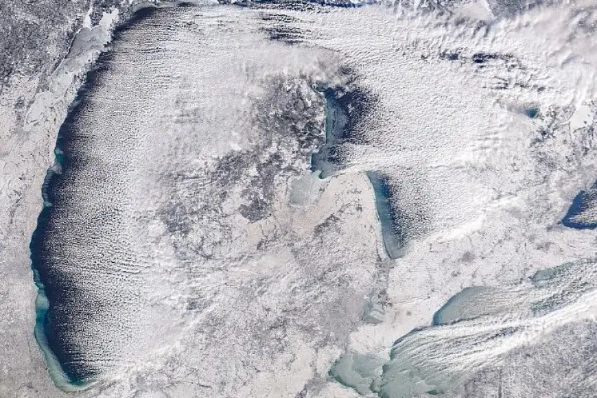
In January 2026, the Great Lakes region faced significant winter conditions, particularly impacting Michigan. A satellite image captured by NASA’s Terra satellite on January 20 showcased newly formed lake ice and a fresh snow cover.
Harsh Winter Conditions in Michigan
A winter storm blanketed many areas of western Michigan with nearly 12 inches of snow, as noted by the National Weather Service. Notably, near Walker, snow totals exceeded 14 inches, marking a significant weather event for the region.
Impact Beyond Michigan
The winter storm also caused blizzard conditions in parts of Ontario, situated east of Lake Huron. This shows how winter weather can affect cross-border regions.
Lake Effect Snow Dynamics
- Lake effect snow occurs when cold air moves over warmer water.
- As air gains moisture, it forms clouds that lead to heavy snowfall.
During a warm spell earlier in the month, ice coverage over Lake Erie plummeted to just 2 percent. However, frigid temperatures returned, causing this coverage to soar to nearly 85 percent by January 21.
Cold Fronts and Wind Chill Advisories
The harsh temperatures were driven by an Arctic cold front sweeping across the region. On January 19, Cleveland issued weather advisories warning of wind chills that could drop to between -15°F and -20°F.
Future Weather Predictions
Forecasters warned of additional waves of Arctic air and heavy snowfall expected to affect the Great Plains and Eastern U.S. in the coming days, emphasizing the ongoing severity of winter conditions.
The significant snowfall and rapid changes in temperature highlight the harsh winter conditions Michigan and surrounding areas faced during this season.