


Weekend Begins Mild and Dry; Easter Brings Rain
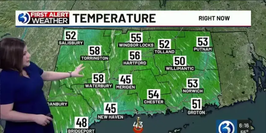
The first weekend of April will start on a mild note. Inland highs are expected near or just above 70, while shore communities top out in the 60s.
Weekend Begins Mild and Dry, with mostly sunny skies giving way to a mix of sun and clouds. A random afternoon or evening shower cannot be ruled out.
Easter Sunday Forecast
Easter Brings Rain as a cold front pushes through Connecticut. Showers are possible during the morning and midday, increasing in the afternoon and evening.
Expect milder conditions than winter, but cooler than Saturday. Highs will be in the lower 60s before precipitation exits after sunset.
Early Week Outlook
Monday turns seasonable and breezy behind the front. Temperatures moderate on Thursday, with highs near 60 away from Long Island Sound.
Tuesday looks cloudier with isolated rain or snow showers early. Wednesday brings high pressure and ample sunshine after a near-freezing start.
March Warm Spells
Several March days were unusually warm. Bridgeport tied a March 9 record high of 64 degrees.
The Hartford area reached 70 on March 9. March 10 produced June-like warmth, with the Hartford area hitting 79 and surpassing the previous 72 record from 2016.
Winter Recap and Significant Storms
Meteorological winter ran December 1 through February 28. The season was colder and snowier than average.
The statewide average temperature was 25.6 degrees, 4.1 degrees below normal. Total seasonal snowfall reached 52.3 inches, 13.2 inches above normal.
Blizzard Calvin
Blizzard Calvin met blizzard criteria at Bridgeport, New Haven, and Groton/New London. Criteria included visibility of a quarter mile or less and winds of 35 mph or higher for at least three hours.
Southeastern shoreline towns reported 20 inches or more. Stonington recorded 30.8 inches, and Mystic measured about 2 feet. Wind gusts reached 55 mph along the coast.
Winter Storm Benjamin
Winter Storm Benjamin was the largest snowstorm in nearly a decade. The Hartford area received 17.3 inches, topping the 2017 storm total of 16.2 inches.
Most of Connecticut saw 12 to 20 inches, with Falls Village reporting 22.0 inches. Snowfall rates reached 1 to 2 inches per hour during the worst of the storm on January 25.
Winter Storm Abraham
Winter Storm Abraham produced the season’s first significant snowfall. Snow fell from the evening of December 26 into the morning of December 27.
Many locations saw over six inches. New Milford reported 10.5 inches, New Preston 9.9, and Meriden 9.0 inches.
Notable Late-Autumn and December Events
A December 19 storm brought strong southerly winds and record warmth. Gusts exceeded 60 mph in several locations, including 67 mph in Groton.
Bradley Airport hit 58 degrees, breaking a December record from 1949. Bridgeport tied a record high of 57 degrees set in 1967.
Earlier, on December 5, Arctic air produced record cold. Bridgeport fell to a new daily low of 15 degrees, and the Hartford area reached 5 degrees.
December 2 featured a coastal storm with a wintry mix. Snow accumulated northwest of I-84, with Canaan at 5.0 inches. Bradley recorded its first measurable snow of the season at 2.4 inches.
Autumn and Summer Highlights
Late October storms on the 30th and 31st produced widespread rain. Hamden reported 3.99 inches, Waterbury 3.94 inches, and Bristol 3.26 inches.
August 2025 finished cooler than normal. The month averaged 69.6 degrees, 2.9 degrees below normal, ending a 21-month streak of above-normal months.
Meteorological summer averaged 72.2 degrees, near normal. Bridgeport recorded just 3.85 inches of summer rain, marking its driest summer since records began in 1948.
Heat Waves and July Weather
Connecticut experienced multiple heat waves in 2025. The third heat wave ran July 28–30, with highs of 91, 96, and 94 degrees.
July 2025 ended as the eighth wettest July at Bradley Airport. The monthly total at Bradley was 7.81 inches, and the average temperature was 76.3 degrees.
Severe thunderstorms on July 3 and July 25 produced damaging winds, large hail, and widespread outages. Over 27,500 customers lost power during the early July storms.
Additional Weather and Climate Notes
An unusual seismic event occurred on January 7. A 1.9 magnitude tremor struck about one mile south of Moodus at 5.6 miles depth.
For the calendar year, 2025 ended close to average. The statewide mean temperature was 51.5 degrees, 0.5 degrees above normal.
Total precipitation for the year measured 46.63 inches, just 0.42 inches below the Hartford area average. Annual snowfall was low at 27.2 inches versus a 51.7-inch average.
There were zero confirmed tornadoes in Connecticut in 2025. This marked the first tornado-free year since 2017.
Where This Forecast Comes From
Details above combine recent observations, storm reports, and short-term forecasts. Filmogaz.com relays these findings to keep readers informed.
- Weekend trends: mostly mild, chance of a shower Saturday evening.
- Easter: increased shower chances as a cold front crosses the state.
- Next week: chilly start Wednesday, then milder by Thursday.