Snow Forecast: Nor'easter Could Drop Heavy, Wet Snow Across the I-95 Corridor This Weekend
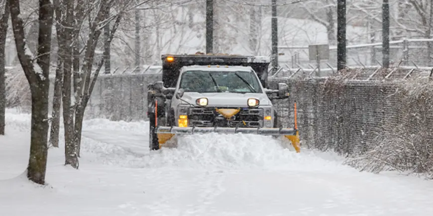
Forecasters have shifted models toward a snow forecast that now raises the chance of significant snowfall across the Mid-Atlantic and Northeast starting Sunday, threatening major population centers along the I-95 corridor and complicating the early workweek commute.
Storm models tightened on Friday; snow expected Sunday into Monday
By Friday afternoon, meteorologists said computer guidance pivoted to a far snowier outlook, with the system expected to take shape overnight Saturday and snow picking up through Sunday and lasting into Monday. Cody Snell of the Weather Prediction Center described the event as "a longer duration event, " noting the potential for 18 to 24 hours of snowfall where the heaviest bands set up.
Between Boston and Philadelphia, forecasters put the probability of at least six inches of snow above 50 percent. Bill Goodman of the National Weather Service said his office was expecting 6 to 12 inches in and around New York City, and he cautioned those totals could hold steady or increase as new data arrives.
Snow Forecast for the I-95 corridor
Model runs vary on exact totals, but one set of guidance showed 8 to 12 inches for New York City and Philadelphia and 12 to 18 inches for Boston through Monday. Winter Storm Watches have already been announced for New York City, Long Island, parts of New Jersey including the Jersey Shore, Connecticut and Massachusetts including Cape Cod.
Some areas of Massachusetts and Connecticut were placed under Winter Weather Advisories, and Boston was under a Coastal Flood Watch. Forecasters warned that even modest shifts in the storm track — on the order of 50 to 100 miles — would change which cities see the heaviest snow.
Winds, coastal flooding and heavy, wet snow raise outage risk
This system is not just about accumulation. Meteorologists flagged the threat of strong, damaging winds and coastal flooding, and said blizzard conditions were possible where heavy snow and wind coincide. The snow is expected to be wet and heavy — the kind that clings to trees and power lines and can lead to outages and difficult shoveling.
Forecasters also noted that places on the warmer side of the storm, such as Washington, D. C., could see a wintry mix or freezing rain before a changeover to snow, which would reduce final totals and create slippery conditions on roads and sidewalks.
Officials emphasized that the storm's final impacts hinge on how two distinct upper-level energy systems align near the coast; if they phase together closely, the coastal storm could intensify rapidly once it organizes offshore.
Forecasters said they expect to have a firmer track once the system organizes off the coast overnight Saturday or early Sunday morning. Snow is expected to begin Sunday, with the primary snow window stretching into Sunday night and Monday morning; travel and recovery plans for the region will hinge on the storm's exact offshore track as it develops.
