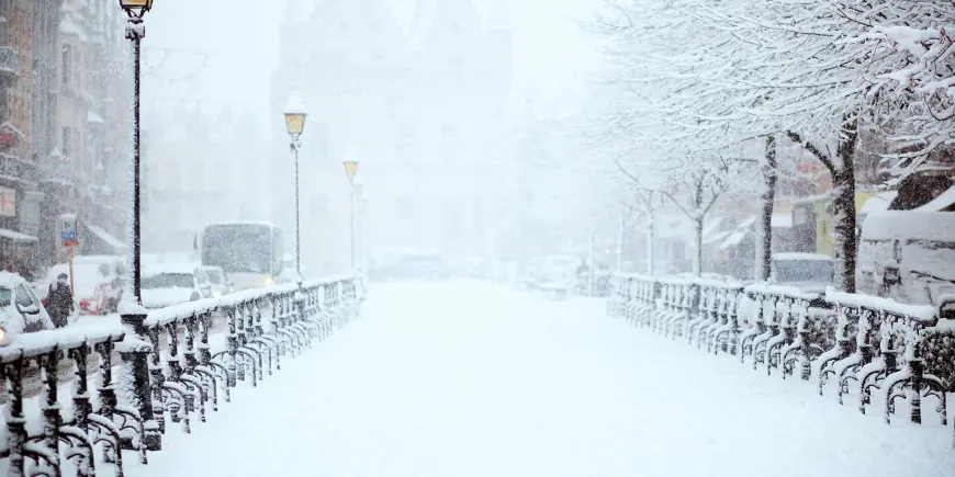
Uk Snow Forecast: Snow and Rain Warnings, Travel Disruption Risk as Cold Snap Continues

The Uk Snow Forecast is dominated by a series of yellow warnings for snow, rain and ice that forecasters say will bring travel disruption, flooding risk and power hazards as a cold snap continues. The mix of wintry and wet weather is concentrated in Northern Ireland, parts of Wales, central and southern England and upland areas where hill snow is likely to accumulate.
Uk Snow Forecast: Where warnings are active and what they mean
Yellow warnings cover parts of Northern Ireland, southern England, Wales, the Midlands and the southern Pennines at different stages of the event. Rain and sleet are already moving in from the south and west, turning to snow over higher ground in several regions. An ice warning for parts of Wales is also set to take effect in the evening.
Northern Ireland will see a mix of wet and wintry conditions, with persistent rain at low levels and snow over high ground, especially in the Sperrins. Strong gusts are an additional hazard, with wind speeds cited that could make conditions more dangerous in exposed locations. Southern counties of England are expected to receive heavier rain, and in the wettest locations further flooding could be worsened by rainfall totals noted for the event.
Expected accumulations and regional details
- High ground above roughly 150–200 metres: several centimetres of snow are expected to accumulate.
- Mid and southeast Wales, Herefordshire, Shropshire and the southern Pennines: snowfall of 10–15 cm is possible on the highest ground in some guidance, with other assessments noting up to 20 cm in higher ground of mid and southeast Wales.
- Lower levels: a mix of rain and sleet is more likely, with small amounts of wet snow possible at times and generally less than a few centimetres in most low-lying areas.
- Southern England/dartmoor areas: heavier rainfall amounts have been highlighted for some southern and coastal zones, increasing flood risk where ground is already saturated.
Impacts: travel disruption, flooding and power risks
Travel disruption is expected where wintry precipitation and heavy rain coincide. There is a possibility of delays on roads caused by stranded vehicles and knock-on effects for rail and air schedules. In Wales, warnings raise the small chance that some rural communities could become cut off and the small chance of power and mobile service cuts where snow and strong winds combine.
Flooding risk is flagged for áreas receiving the heaviest rain; several locations are noted to be vulnerable to increased flooding following recent wet conditions earlier in the season. Icy surfaces are also likely overnight as temperatures drop, increasing the hazard for untreated routes and footpaths.
Timing, uncertainty and the short-term outlook
Temperatures have fallen sharply in recent nights in northern areas, with readings well below freezing in parts of north-east Scotland, and frosty starts in many northern and central districts. Frontal systems are expected to push rain and snow into different regions through Wednesday and into Thursday, with yellow national warnings remaining in force into Thursday morning for some areas.
Forecasters note some uncertainty in the exact placement and intensity of snowbands and rainfall; this means hour-by-hour conditions could change and impacts may vary locally. As the system clears, drier conditions are expected to return for many areas, though winds and further cold overnight temperatures could leave icy patches. The weekend outlook is described as unsettled with further bands of rain possible and a trend toward milder air later on.
Practical steps for readers in affected areas include planning for delayed journeys, allowing extra time for travel, preparing for the possibility of temporary power or communications interruption, and checking local updates for evolving warning details. The Uk Snow Forecast highlights a period of mixed wintry hazards where vigilance and local updates will be important.


