


los angeles weather: Evacuation Warnings Issued for Burn-Scar Areas Ahead of Major Storm
City and county officials issued evacuation warnings for portions of Los Angeles threatened by a powerful winter storm that is expected to bring heavy rain and thunderstorms. A flood watch covers a wide swath of the county from Monday morning through Monday evening ET, and authorities are urging residents in and near recent wildfire burn scars to take immediate precautions.
What officials are warning
Meteorologists have flagged the incoming system for intense rainfall rates, strong winds and localized severe weather. Forecasters warned that conditions may include heavy downpours approaching one inch per hour, wind gusts up to 60 mph and the potential for small tornadoes in the region. Those elements can combine to produce rapid runoff, flash flooding and dangerous debris flows on steep slopes and burn-scarred terrain.
Rock and mud slides are possible near steep terrain, and burn scar areas — where vegetation was stripped by recent wildfires — are particularly vulnerable to fast-moving debris flows that can inundate roads and properties with mud, boulders and vegetation. Emergency managers stressed that these hazards can develop quickly and with little notice.
Who is at risk and what to do
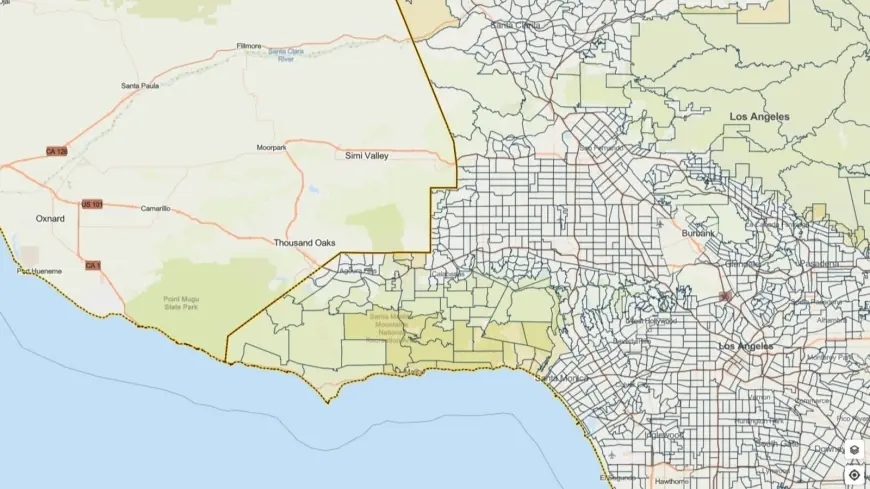
Evacuation warnings have been issued for select parcels near areas burned in recent wildfires, with those warnings in place through 9 a. m. ET Tuesday. Residents living in or below steep slopes, canyons, washes and known burn-scar zones should be prepared to evacuate if an evacuation order is issued. Officials urged people to plan ahead, identify multiple evacuation routes, and avoid driving through flooded roadways or standing water.
Local leaders advised households to assemble emergency kits, secure outdoor furniture and clear drains and gutters where feasible. Those with mobility challenges or who need assistance were encouraged to make contingency plans now for transportation and shelter. Outreach teams are prioritizing contact with vulnerable populations to connect individuals to available resources and temporary housing options.
Preparations, response and public messaging
City public works crews, first responders and emergency management personnel have been mobilized to respond to storm impacts. Street crews are pre-positioned to address flooding and debris removal, while emergency teams stand ready to execute rescues and support evacuations as conditions evolve.
Local officials emphasized that this is likely to be another significant rain event and urged residents to stay informed through official emergency alert channels. Authorities are coordinating sheltering options and have activated motel voucher programs to augment existing shelter capacity for those displaced by weather impacts. Outreach teams will actively engage at-risk communities throughout the storm period.
Drivers should exercise extreme caution on the roads: heavy rain and gusty winds can quickly reduce visibility and create hazardous driving conditions. Avoid attempting to cross flooded streets; just a few inches of moving water can sweep a vehicle off the road. If you encounter a road that is closed or barricaded, follow the detour and do not attempt to bypass closures.
Officials reiterated that the situation can change rapidly and urged Angelenos to monitor emergency messages, sign up for local alert systems, and heed evacuation orders if they are issued. Those in high-risk areas should move to higher ground as a precaution and keep family, neighbors and pets in mind when planning a response.
As the storm moves in, preparedness and quick action will be key to minimizing harm. Residents are encouraged to check local advisories frequently and be ready to act on short notice if conditions deteriorate.