


Winter Weather Set to Make a Comeback on B.C.’s South Coast?
As southern British Columbia braces for a significant shift in weather, winter conditions are set to make a noteworthy return. This change comes at a crucial time for ski resorts that have been yearning for more snowfall.
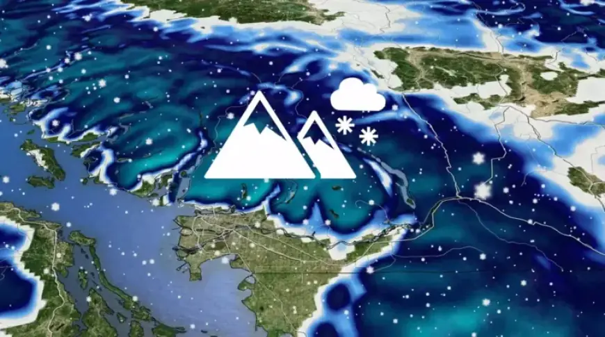
Winter Weather on B.C.’s South Coast
The latter half of February 2026 promises cooler temperatures, bringing much-needed precipitation to the South Coast mountains. Weather systems are projected to move into the region this week, heralding a change towards a more traditional winter climate.
Snowfall Boost for Ski Areas
The upcoming weather patterns are expected to result in considerable snowfall in the alpine areas. This will provide a significant boost to local ski resorts, enhancing skiing conditions substantially.
Travel Considerations
While the anticipated snow will benefit winter sports, it may also complicate travel for residents and visitors alike. Those planning to drive in the region should prepare for potential winter travel challenges.
Snowpack Summary as of Early February
As of February 1, the provincial snowpack measures at 111% of average. Typically, only 66% of the seasonal snow would accumulate by this date. Here are some specific snowfall statistics:
- Whistler Blackcomb: 535 cm (well below the seasonal average of 1,100 cm)
- Nelson: 99 cm
- Kamloops: 33 cm
- Cranbrook: 27 cm
- Vancouver: 0 cm
- Victoria: 0 cm
- Comox: 0 cm
- Abbotsford: 0 cm
Looking Ahead
With developing ridging moving into Alaska, a cooler trough pattern is likely to dominate British Columbia starting mid-February. This pattern shift is expected to sustain the winter climate and could lead to further snowfall across the region.
Stay informed about the latest winter weather updates on Filmogaz.com as conditions evolve on B.C.’s South Coast.