


Mount Maunganui Tragedy Highlights Landslides as New Zealand’s Deadliest Hazard
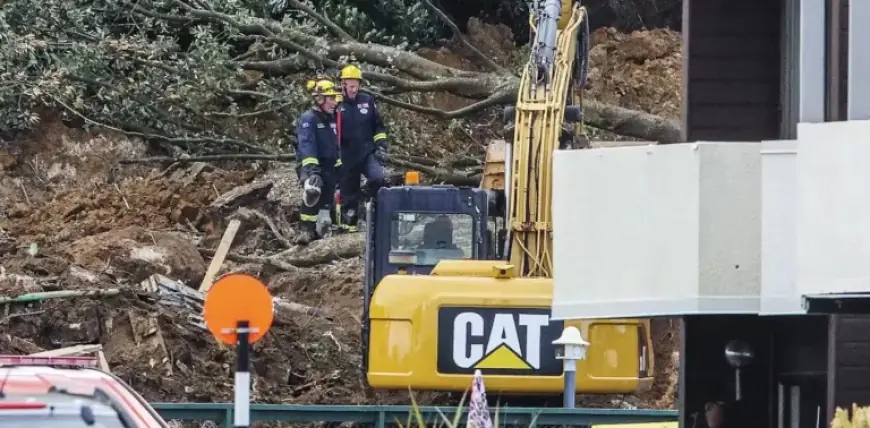
The recent landslides at Mount Maunganui serve as a stark reminder of the dangers posed by natural hazards in New Zealand. On a Thursday morning, a significant landslide struck the Mount Maunganui Beachside Holiday Park, prompting an extensive rescue and recovery operation. Earlier that same day, a separate landslide resulted in the deaths of two individuals in Welcome Bay, a suburb of Tauranga. As of Friday evening, six individuals were still reported missing at Mount Maunganui.
Understanding Landslide Risks in New Zealand
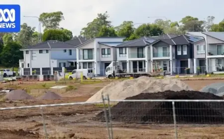
The landslide incidents occurred towards the end of a weak La Niña cycle, which typically results in increased rainfall in northern regions of New Zealand. Unusually warm sea-surface temperatures contributed to higher moisture levels in the atmosphere, leading to heavier rainfall. Over the preceding 24 hours, some areas received more than 200 millimeters of rain, far exceeding the thresholds commonly associated with triggering landslides.
Regions Most Affected
The Bay of Plenty, Coromandel, Northland, and Tairāwhiti are exceptionally vulnerable to intense rain events. Heavy rainfall weakens both surface soils and the weathered rock beneath, resulting in shallow landslides. Most landslides are prompted by significant rainfall, influenced by factors such as:
- Slope angle
- Soil and rock strength
- Vegetation cover
- Rainfall intensity
- Soil saturation levels prior to storms
Landslides have historically posed greater risks in New Zealand, resulting in more fatalities than earthquakes and volcanic eruptions combined since records began in 1843. Much of the country is characterized by a steep, geologically young landscape marked by evidence of past landslides.
The Impact of the Mount Maunganui Landslide
The landscape at Mount Maunganui reveals a history of landslides, showcased through new high-resolution mapping techniques. A 2024 LiDAR-based digital elevation model reveals numerous landslide features on the slopes, particularly along coastal cliffs. Two significant ancient landslides, labeled L1 and L2, are located directly above the campground.
These past landslides have created visible scars in the landscape, indicating where large volumes of material have previously detached and flowed downhill. A geotechnical investigation conducted in 2000 near the campground unveiled layers of debris from earlier landslides, emphasizing the site’s vulnerability.
Risk Assessment and Mitigation Strategies
Correctly predicting the path and impact of a landslide remains a complex challenge. Methods range from basic estimations based on slope characteristics to advanced simulation models like Rapid Mass Movement Simulation (RAMMS). These models assess various scenarios by adjusting rainfall and soil properties to determine potential risks.
Landslide hazard maps, developed from such assessments, provide critical guidelines for land-use planning and emergency management. While major progress has been made in mapping floodplains, creating detailed landslide hazard maps is a vital next step for enhancing community safety in New Zealand.
In summary, the Mount Maunganui tragedy underscores the severe risks posed by landslides, highlighting the need for improved awareness and intervention strategies to mitigate future disasters.