


Weather Boston: Blizzard Warnings Posted as Nor’easter Threatens Heavy Snow and High Winds
Storm preparations are underway across eastern Massachusetts as a powerful nor’easter moves in Sunday night. Weather Boston forecasts heavy, wet snow, strong winds and coastal flooding that will shape travel, school operations and local services on Monday.
Development details — Weather Boston update
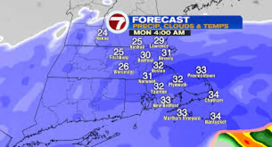
First flakes are expected between 9 p. m. and midnight Sunday night, with the heaviest snowfall arriving in the predawn hours. Snowfall rates could reach about 2 inches per hour between 4 a. m. and 10 a. m., and heavy snow is likely from roughly 3 a. m. into mid-afternoon around 3 p. m. Snow chances continue into Monday evening, though the intensity is expected to ease to light-to-moderate during that later period.
As a coastal storm, the highest accumulations are forecast for southeastern Massachusetts, where totals may reach up to 2 feet. Coastal areas in Plymouth County should expect slightly lower amounts because strong wind will affect snowfall. Peak wind gusts are forecast to top 60 mph along the immediate coastline of southeastern Massachusetts and to range from 50 to 60 mph across other parts of eastern Massachusetts. Coastal flooding is also a concern, with inundation of between 1 and 3 feet above ground possible depending on location.
Context and escalation
The event is a nor’easter with a significant wind component, which amplifies several hazards simultaneously. Heavy, wet snow combined with sustained high gusts is likely to produce blowing snow that reduces visibility and leads to drifting; the wet nature of the snow increases the potential for tree damage and scattered power outages along coastal strips. What makes this notable is the convergence of intense snowfall rates during the early Monday hours with peak wind, concentrating the most severe conditions into a relatively narrow time window that will complicate response and travel.
Immediate impact
Officials have already signaled disruptions: Worcester Public Schools will be closed on Monday. Travel is strongly discouraged for the full day Monday because of snow-covered roads and visibility reductions from blowing snow. Communities in southeastern Massachusetts face the most significant accumulations and the highest risk of coastal inundation and wind-related outages. The combination of 2-inch-per-hour snowfall rates and gusts above 50 mph inland and over 60 mph on the coast creates a heightened risk of downed branches and intermittent power loss.
Emergency services and public works agencies can expect heightened call volumes and increased demands for plowing and storm response. Minor coastal flooding of 1 to 3 feet above ground will affect low-lying areas and could impede shoreline access during the peak of the storm.
Forward outlook
Key timing to watch: the storm begins late Sunday night, the most intense snowfall window is between 4 a. m. and 10 a. m. Monday, and lighter snow may persist into Monday evening. Travel advisories in effect for Monday align with the expected period of heaviest snow and strongest gusts. Schools and municipal operations that announced closures or plans for Monday cited the expected impacts on roads and public safety.
Local authorities and utility crews will likely be focused on clearance and restoration after the primary snowfall and wind period. The confirmed milestones now are the late-Sunday start, the early-Monday peak, and lingering light snow into the evening. Residents in affected zones should plan for limited mobility on Monday and prepare for possible short-term utility interruptions and localized coastal flooding during the storm’s peak.