


Winter Storm Warning Weather: Sierra Braces for Up to 8 Feet of Snow; Tahoe and Reno Face Major Travel Hazards
A potent winter storm is headed for the Sierra beginning Sunday night, bringing heavy snowfall, strong winds and the potential for widespread travel disruptions across California and Nevada. Winter storm watches and strong wind alerts cover the region as forecasters warn of whiteout conditions, downed trees and possible road closures.
Storm timing, snowfall totals and wind
Forecasts indicate snow will begin Sunday evening, with the most intense precipitation expected Monday afternoon, Feb. 16, through Tuesday, Feb. 17. Winter storm watches are in effect from 10: 00 p. m. ET Sunday, Feb. 15 through 10: 00 p. m. ET Wednesday, Feb. 18.
At higher elevations along the Sierra crest, forecasters expect extreme totals—4 to 8 feet of snow is possible through the watch period, with Donner Pass and nearby high country among the hardest hit. The Tahoe Basin is forecast to see heavy accumulation as well, with 18 to 30 inches possible at lake level and higher amounts favored along the West Shore and in Alpine County. Some areas of the Sierra could pick up 2 to 5 feet of snow.
Winds will be a major factor. Valley gusts are forecast in the 35 to 45 mph range while higher ridges may see gusts between 45 and 55 mph or stronger. Isolated ridge gusts could exceed 100 mph, raising the threat of falling trees, damaged power infrastructure and prolonged outages. Combined with heavy snow, those winds will produce periods of blowing snow and near-zero visibility.
Impacts on travel, infrastructure and local communities
Travel along Interstate 80 and Donner Pass may be particularly hazardous. Chain controls are likely, and rolling or extended closures are possible during peak snowfall. Drivers planning to cross the Sierra for holiday travel are urged to complete trips before Sunday evening or be prepared for long delays and detours.
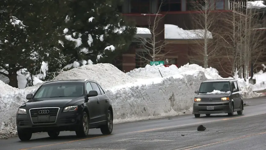
Along the Tahoe Basin and lower elevations, persistent heavy rates of snowfall could make road travel very difficult to impossible at times. Whiteout conditions, drifting snow and downed trees are likely to slow emergency response and hamper power restoration efforts where outages occur. Residents in exposed mountain communities should secure loose outdoor items and prepare for several days of winter storm impacts.
Reno, valleys and safety preparations
Reno and nearby valleys are expected to begin this storm with rain, transitioning to snow as colder air moves in early next week. Snow could reach the valley floor by Monday night, Feb. 16, and the Reno-Carson area carries a 25% to 60% chance of at least 2 inches of snow. Foothill locations and higher-elevation communities such as Virginia City face much higher odds for measurable accumulation and hazardous conditions.
Residents and visitors should prepare emergency supplies, check vehicle readiness for winter driving and have an alternate plan for power or heat loss. Those who must travel should carry chains or traction devices, allow extra travel time, and check road conditions before departing. If possible, delay nonessential travel until the storm has passed and roads are cleared.
Local authorities will issue updates as conditions evolve. People in potentially affected areas should stay alert for advisories, watch for winter storm statements and heed any travel restrictions or evacuation notices that may be issued.