


Winter Storm Warning: California's Coldest System of the Season Set to Dump Feet of Sierra Snow
California is bracing for a potent, cold storm system that will arrive this weekend and linger into next week, bringing heavy rain to coastal and Bay Area communities and several feet of snow to the Sierra Nevada. State and highway officials are urging travelers and residents to prepare for rapidly deteriorating conditions, especially on mountain routes.
Timing and track: when the worst arrives
Forecasters expect the first band of precipitation to reach Northern California Saturday evening ET, with multiple waves continuing into late next week. A large, cold low dipping south from the Gulf of Alaska will keep temperatures below seasonal normals, increasing the likelihood that higher-elevation rain will fall as snow.
The most intense period for mountain snow is forecast for the holiday window and the days immediately after. Travel into and out of mountain destinations will be easiest in the short window before the system tightens its grip; conditions will worsen quickly once the heavier bands move in.
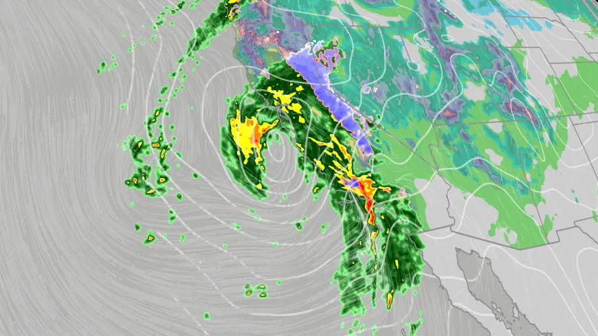
Snow and rain totals: feet in the Sierra, inches along the coast
Mountain areas are likely to see substantial accumulations. Forecast guidance points to several feet of new snow in many Sierra locations, with some valleys and resort areas potentially receiving three to seven feet in the strongest scenarios. Localized totals could be higher where bands persist and temperatures stay cold.
Lower elevations and coastal ranges will see heavy rain as well. Bay Area totals will vary by neighborhood and elevation, with many foothill and coastal mountain locations expecting multiple inches over the course of the event. The combination of rain and snow at differing elevations will determine runoff patterns and travel impacts.
Travel impacts and road safety
Highway officials warn that travel will become hazardous once snowfall rates pick up. Chains, four-wheel drive, or snow tires will be required on many mountain routes, and secondary roads may be cleared less frequently than major corridors. Motorists should expect slower travel times, intermittent closures, and reduced visibility during heavy snow and rain.
Road crews will prioritize state highways and passes; officials advise travelers to prepare emergency kits with blankets, food, water, a flashlight and extra warm clothing, and to keep fuel tanks topped up. Planning trips for the calm window before the storm arrives will reduce the risk of getting stranded during the worst conditions.
Flood risk and water supply implications
While this system is cold and not classified as an atmospheric river, the prolonged bands of precipitation will provide a meaningful boost to local water supplies and the state’s snowpack. The precipitation is welcome after a drier stretch in late January.
Major flooding is not expected across most populated valleys, but localized runoff and minor flooding are possible where heavy rain falls on saturated or steep terrain. Officials will monitor rivers and creeks, and residents in flood-prone areas should review their plans for sandbags or temporary protections.
How residents should prepare
Residents in both lowland and mountain communities should check vehicle readiness and emergency supplies now rather than waiting until the storm arrives. For those headed to the Sierra for recreation, plan to travel early and be prepared for chain controls or sudden closures on return trips.
Stay updated with local advisories, avoid unnecessary travel during peak storm periods, and give crews space to work when you encounter maintenance or emergency vehicles. Preparedness now can reduce risk and help communities move through the storm with fewer disruptions.